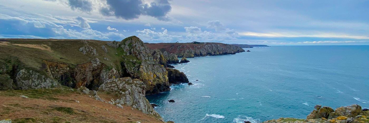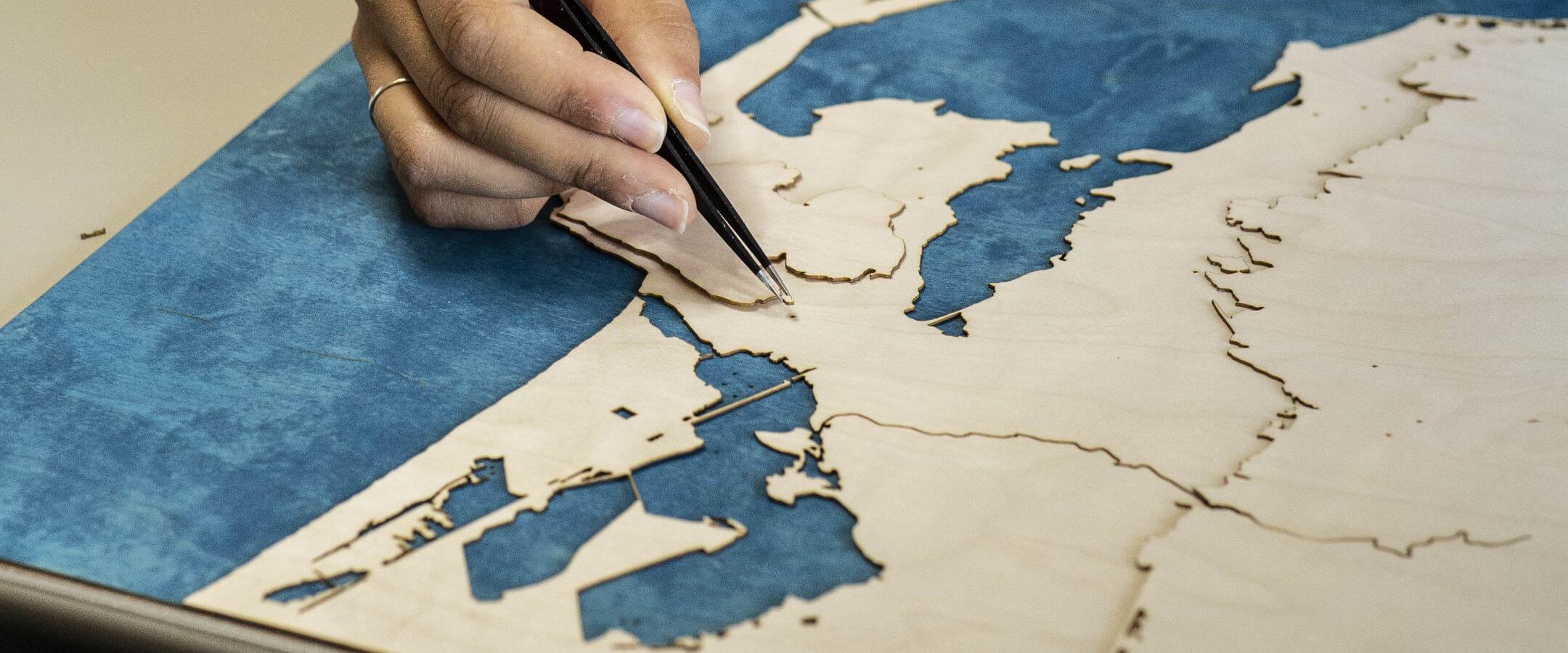


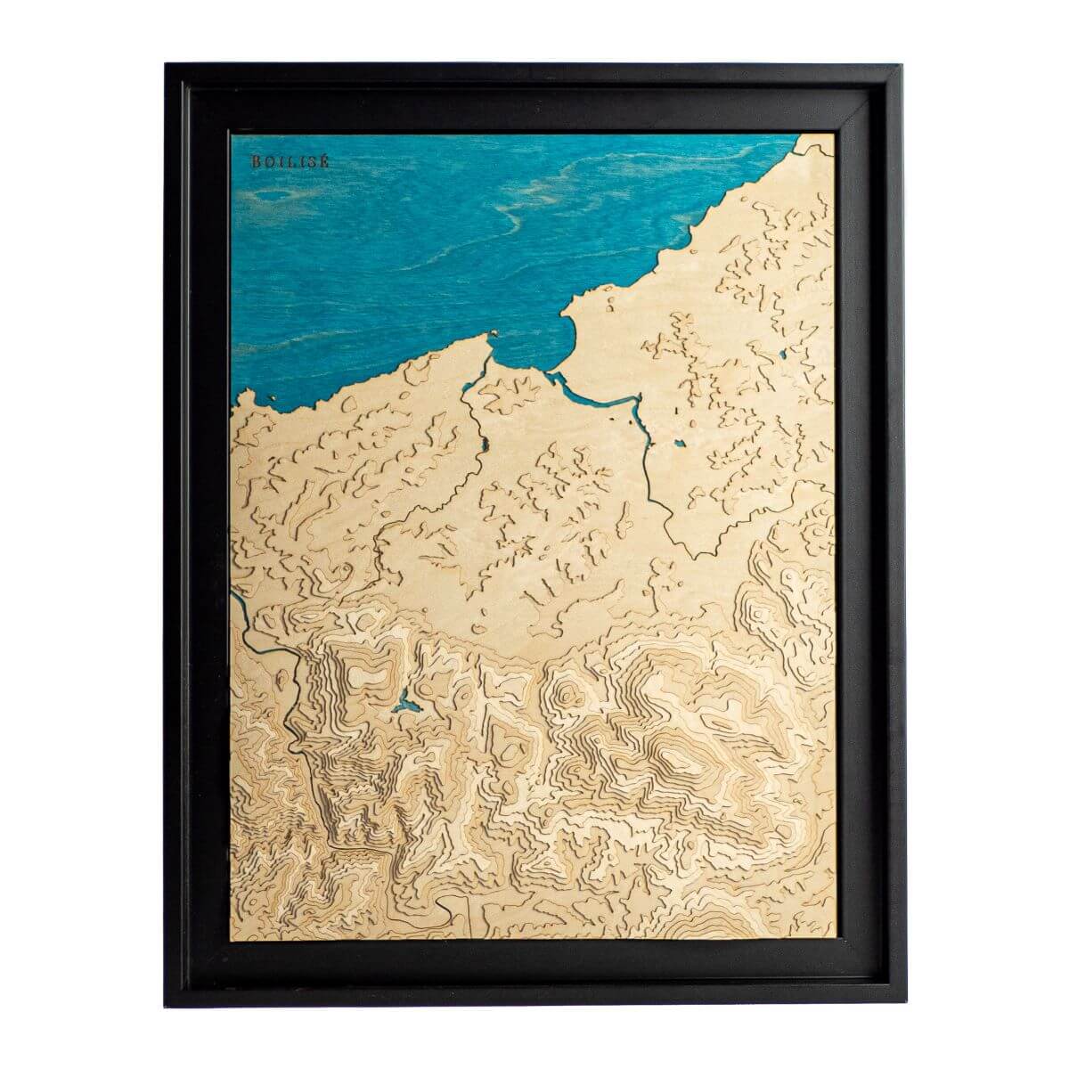
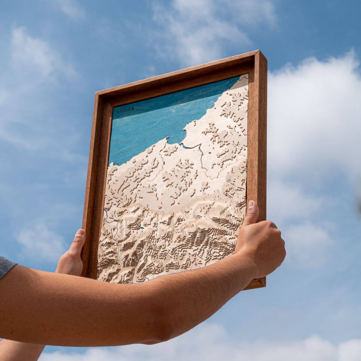
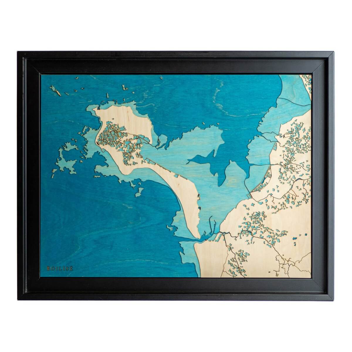
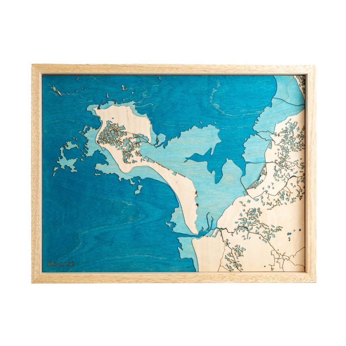
Maps of the Atlantic and the Channel
22 products
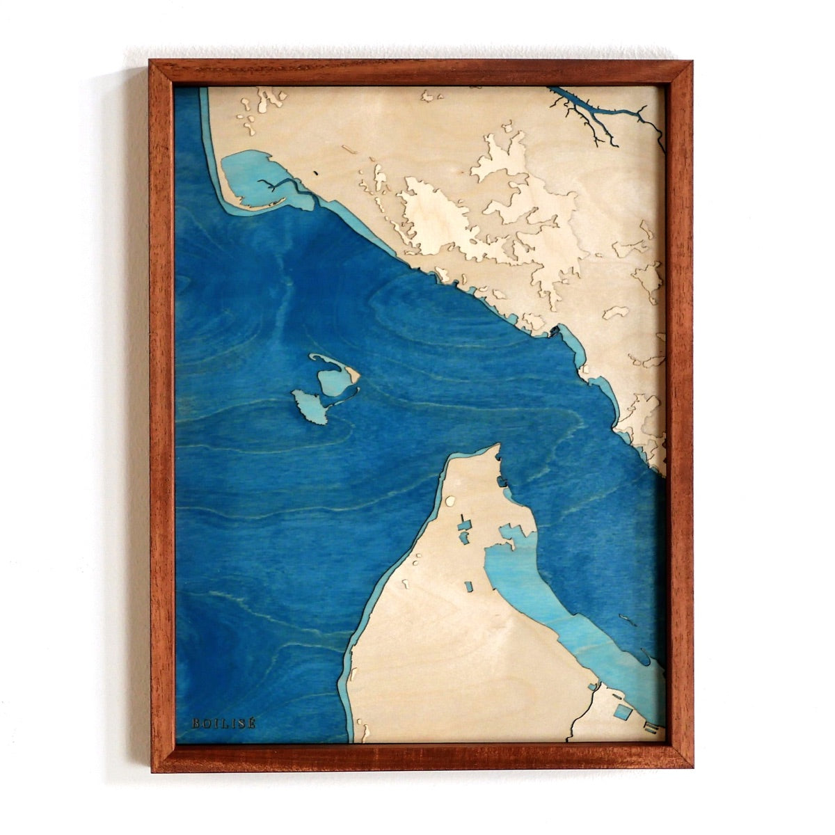
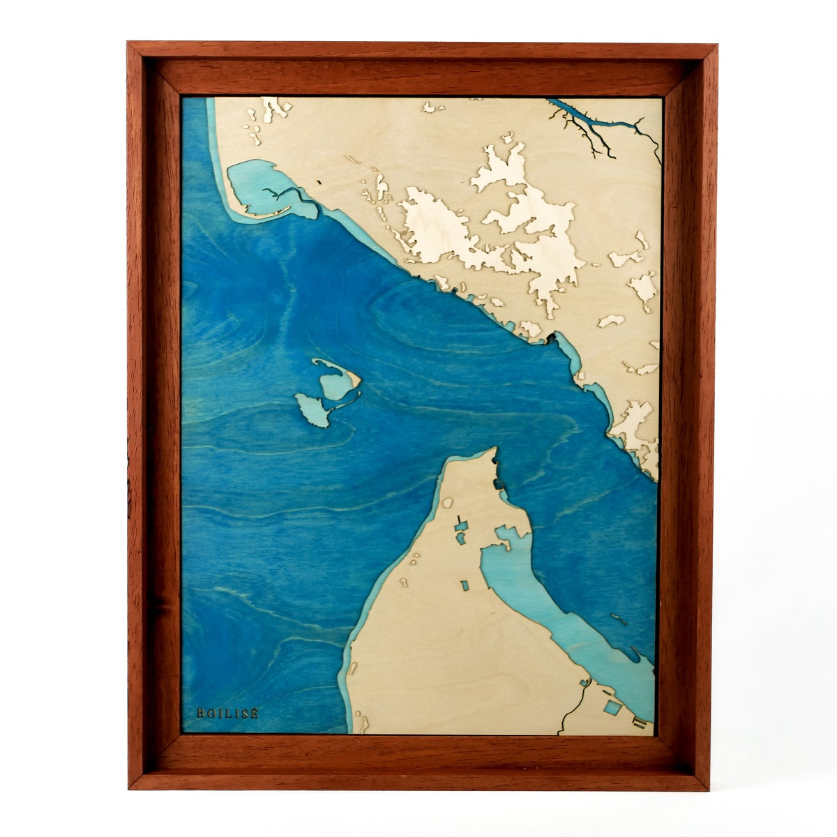
50cm x 40cm
Map of the Arcachon basin and the Pilat dune
Sale priceFrom 245 €
40cm x 50cm
Map of the Gulf of Morbihan
Sale priceFrom 245 €
50cm x 70cm
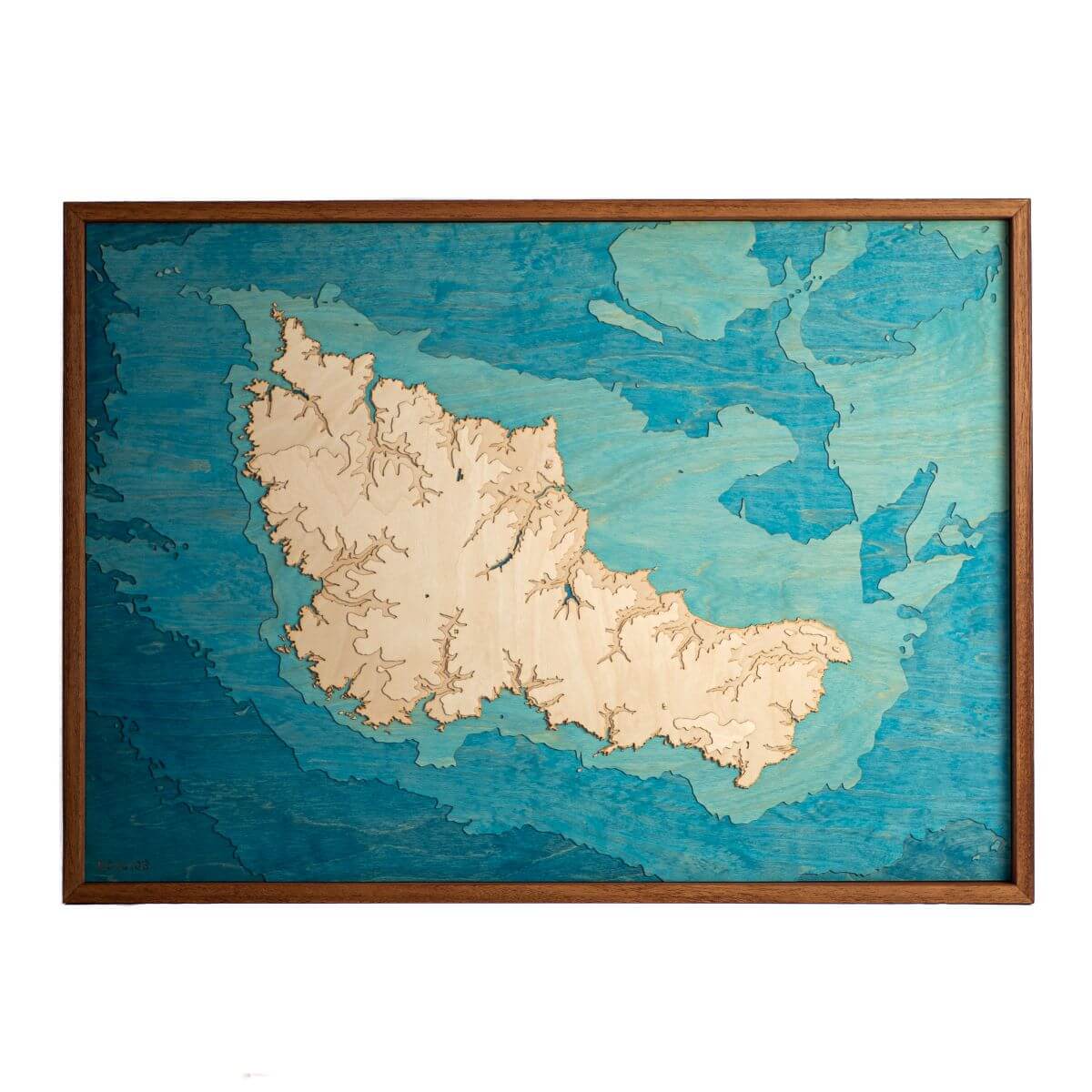
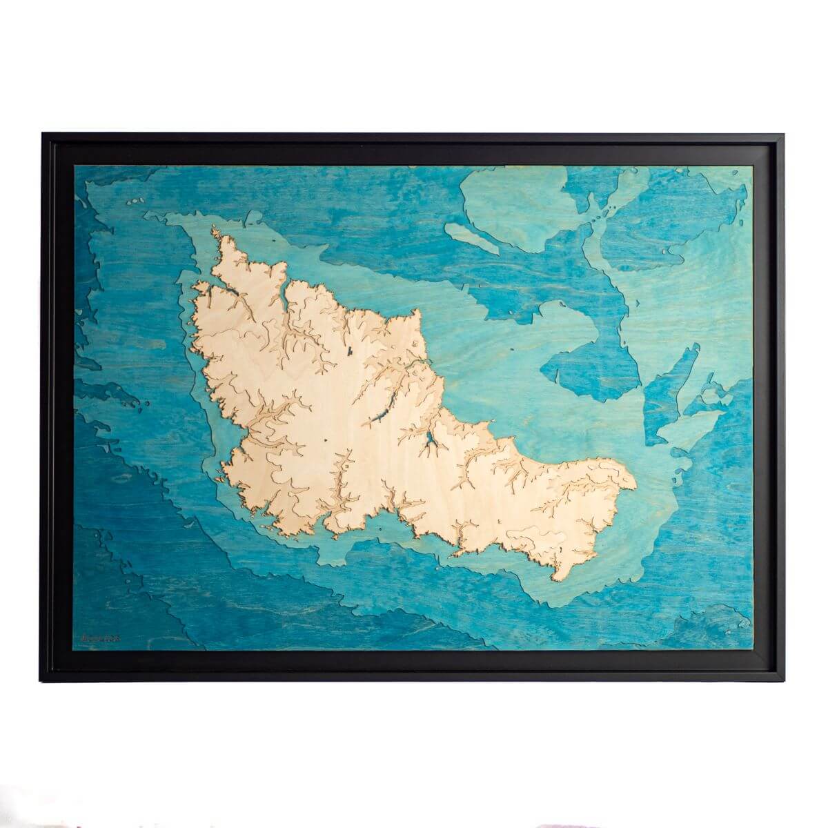
Map of Belle-Île
Sale priceFrom 395 €
40cm x 30cm
Map of Saint-Malo and the Rance estuary
Sale priceFrom 195 €
30cm x 40cm
Map of North Finistère
Sale priceFrom 195 €
40cm x 30cm
Map of the Labourd coast
Sale priceFrom 245 €
30cm x 40cm
Map of the island of Noirmoutier
Sale priceFrom 195 €
30cm x 60cm
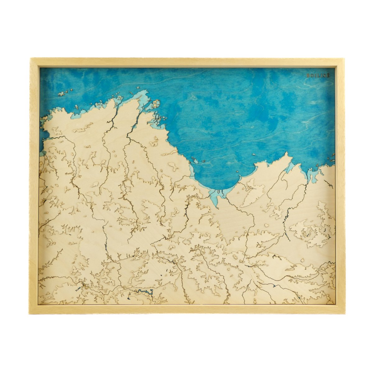
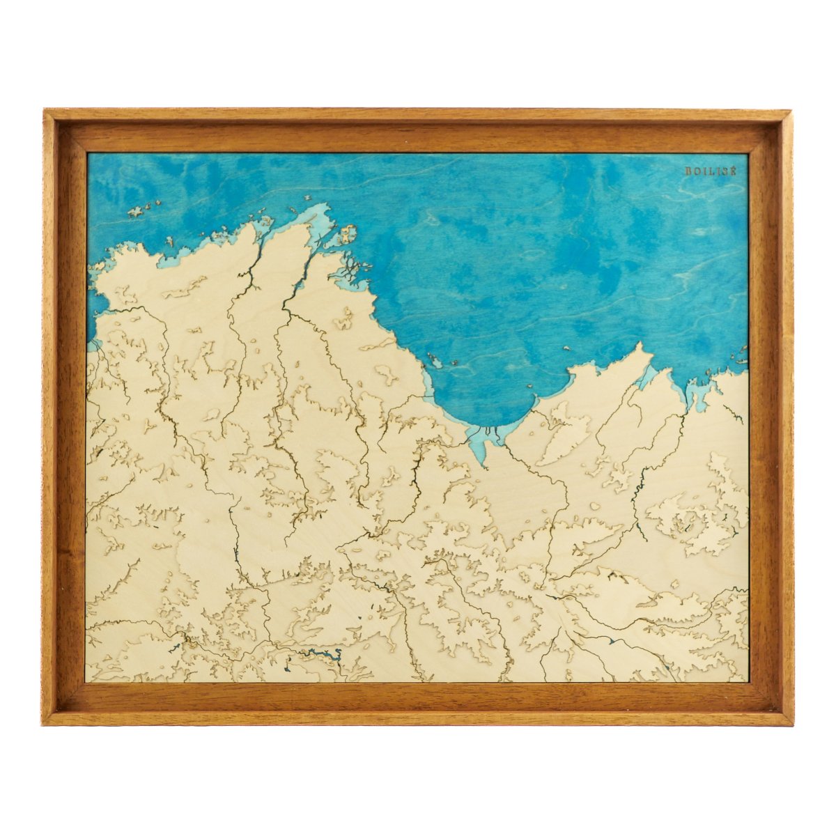
Map of the Bay of Veys
Sale priceFrom 245 €
40cm x 50cm
Map of Côtes d’Armor
Sale priceFrom 295 €
40cm x 30cm
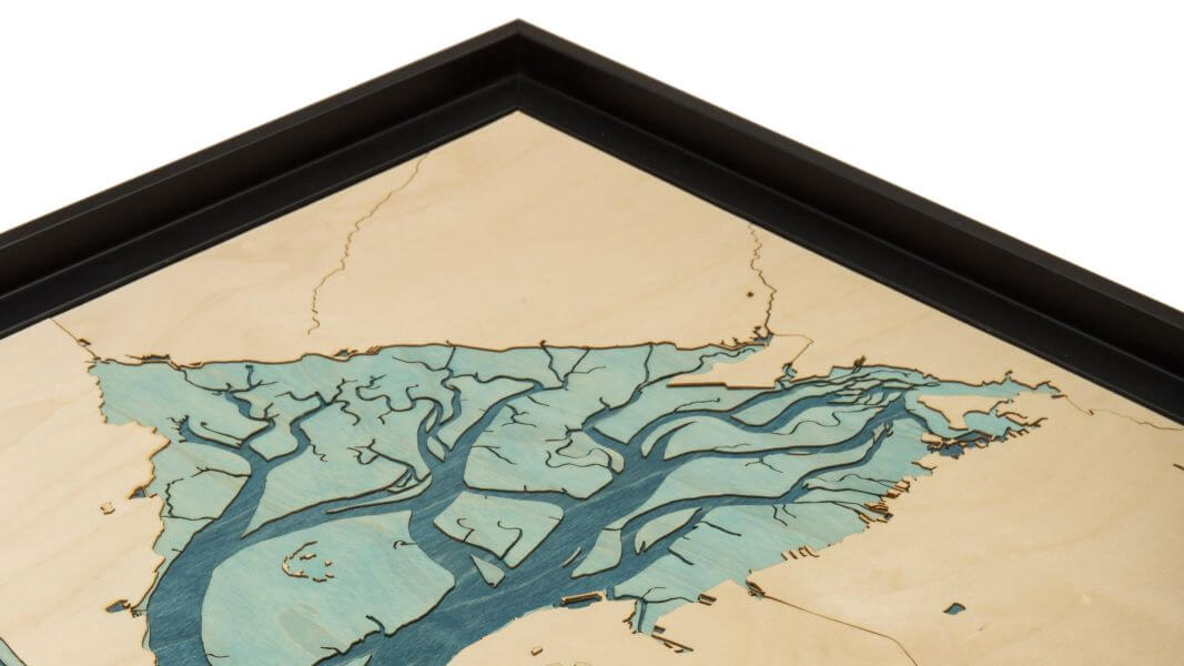
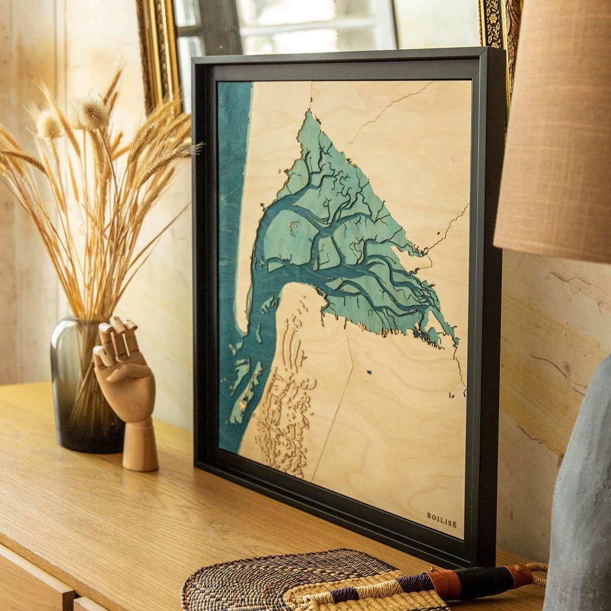
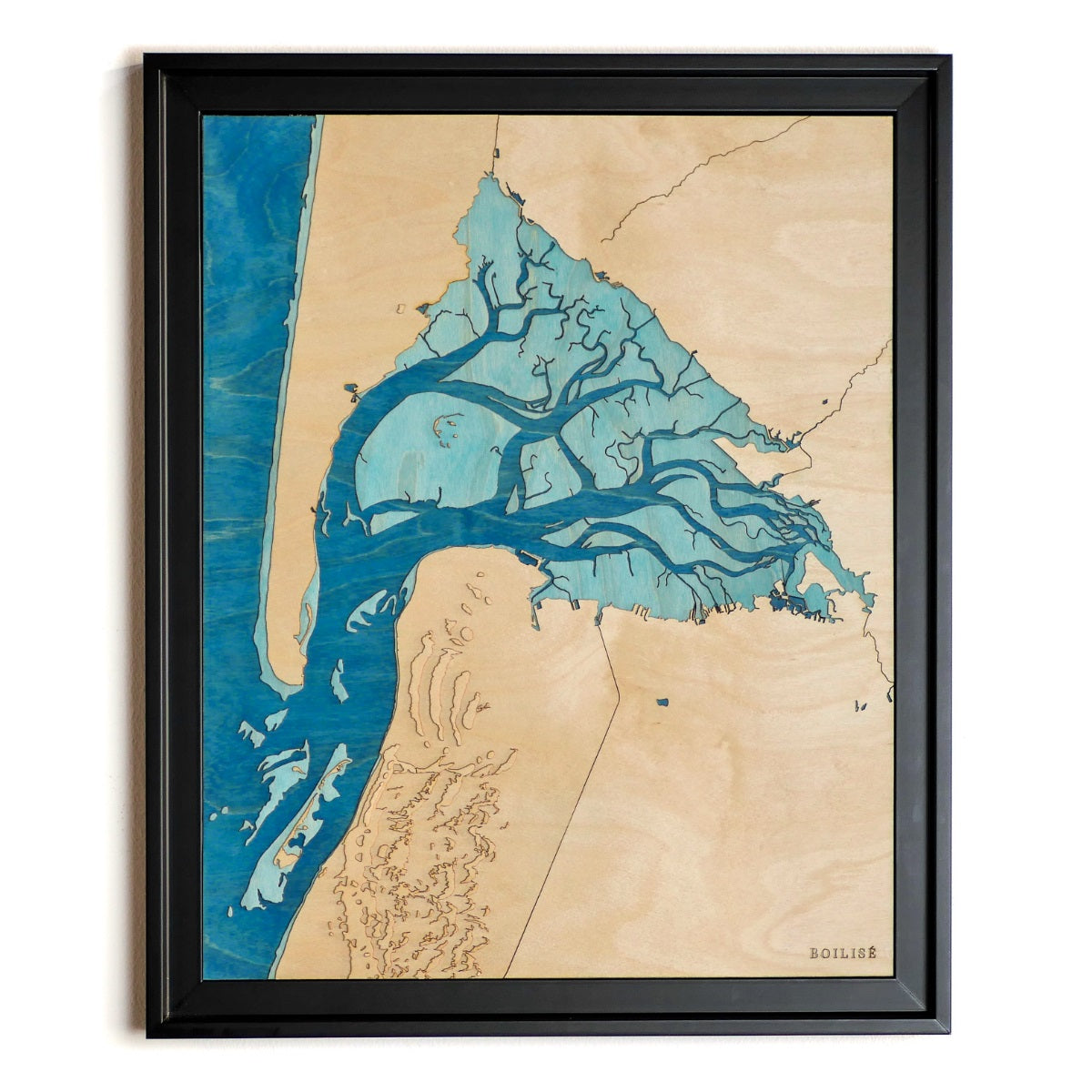
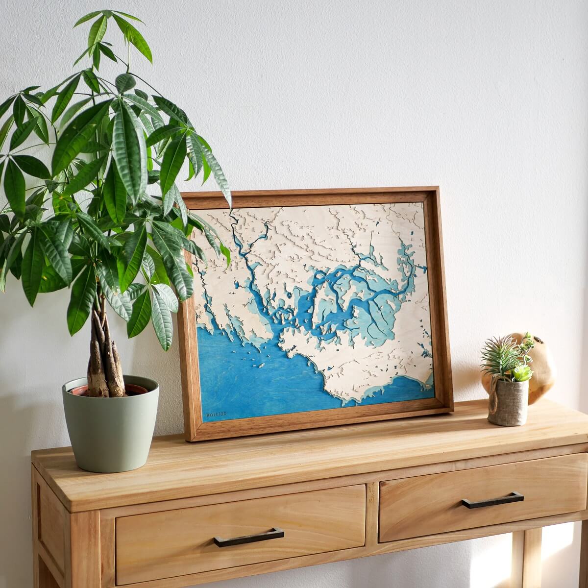
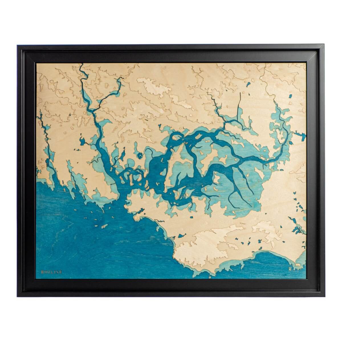
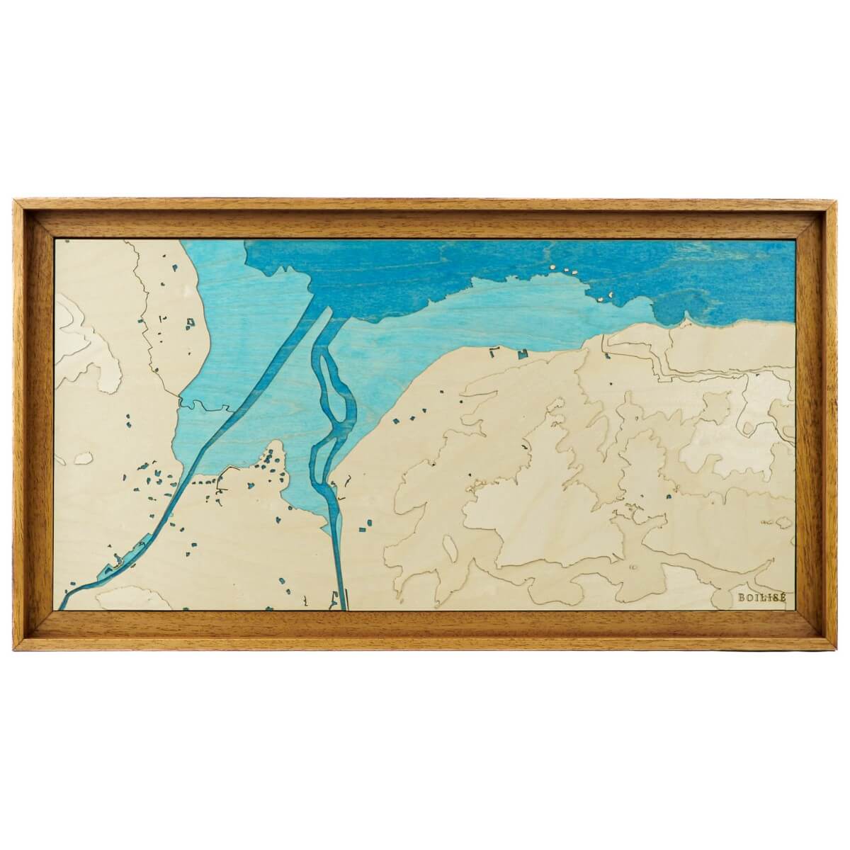
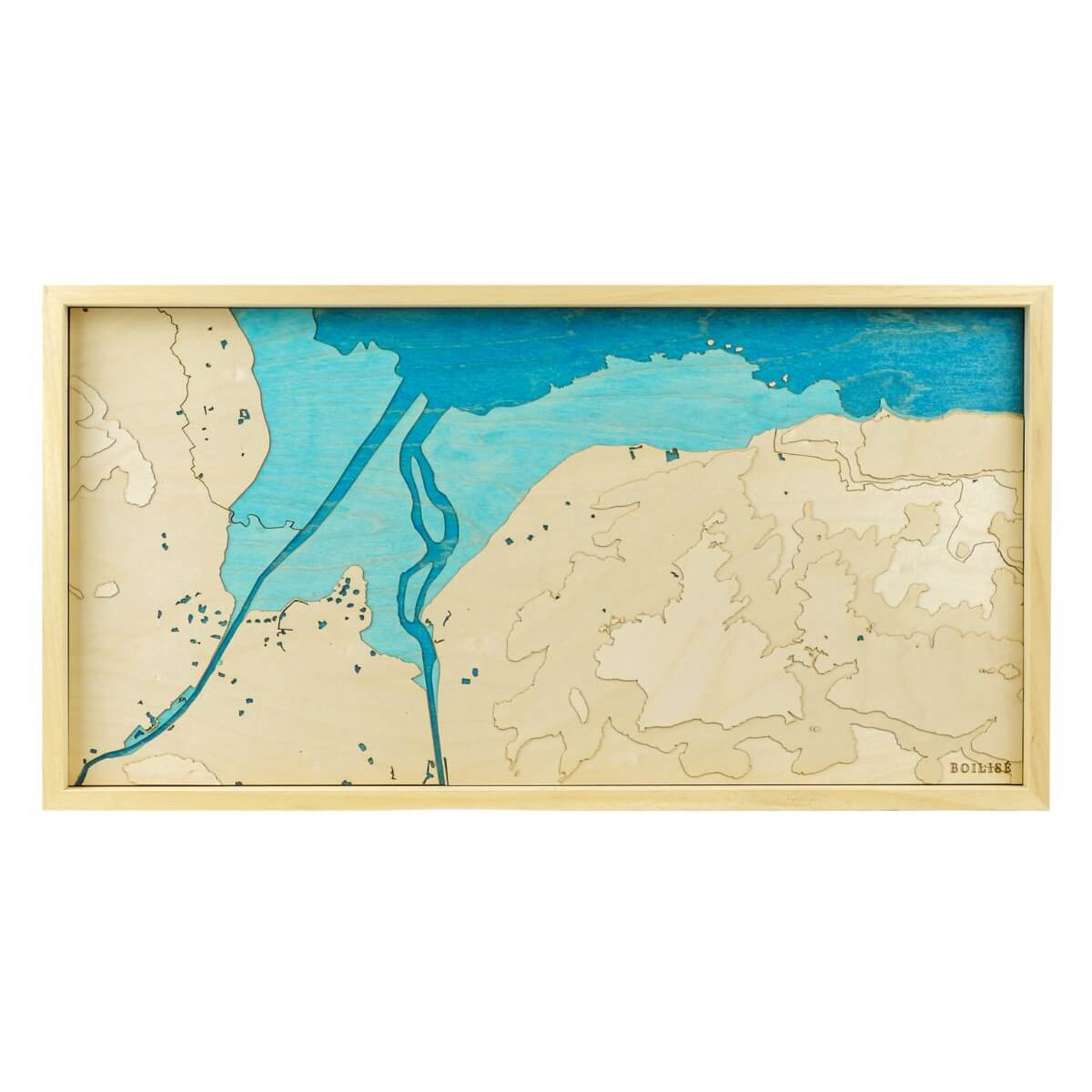
Map of Royan and the Gironde estuary
Sale priceFrom 145 €