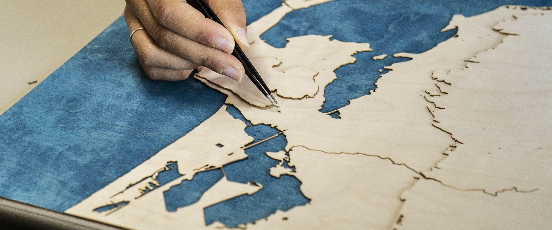


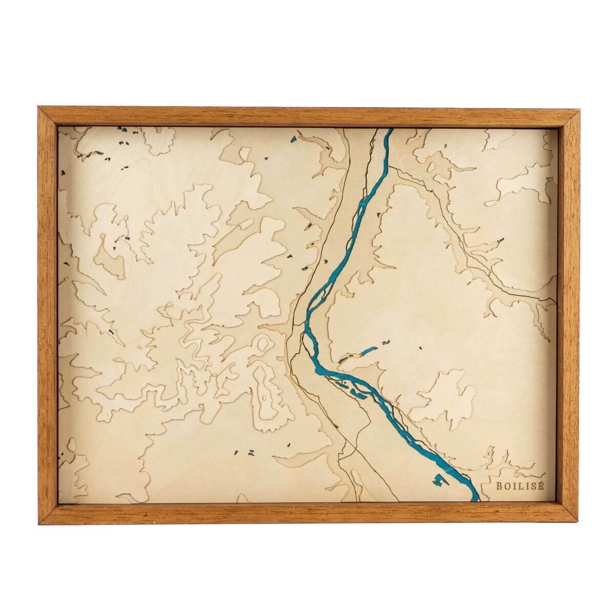
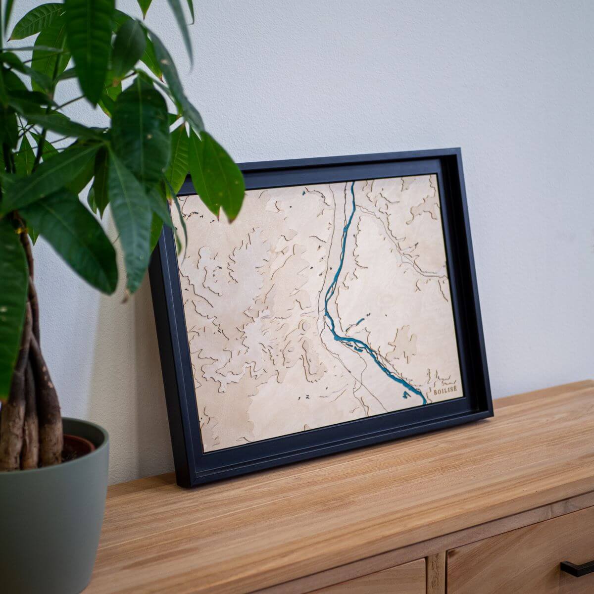
Maps of central and eastern France
5 products
30cm x 40cm
Auxerre map
Sale priceFrom 195 €
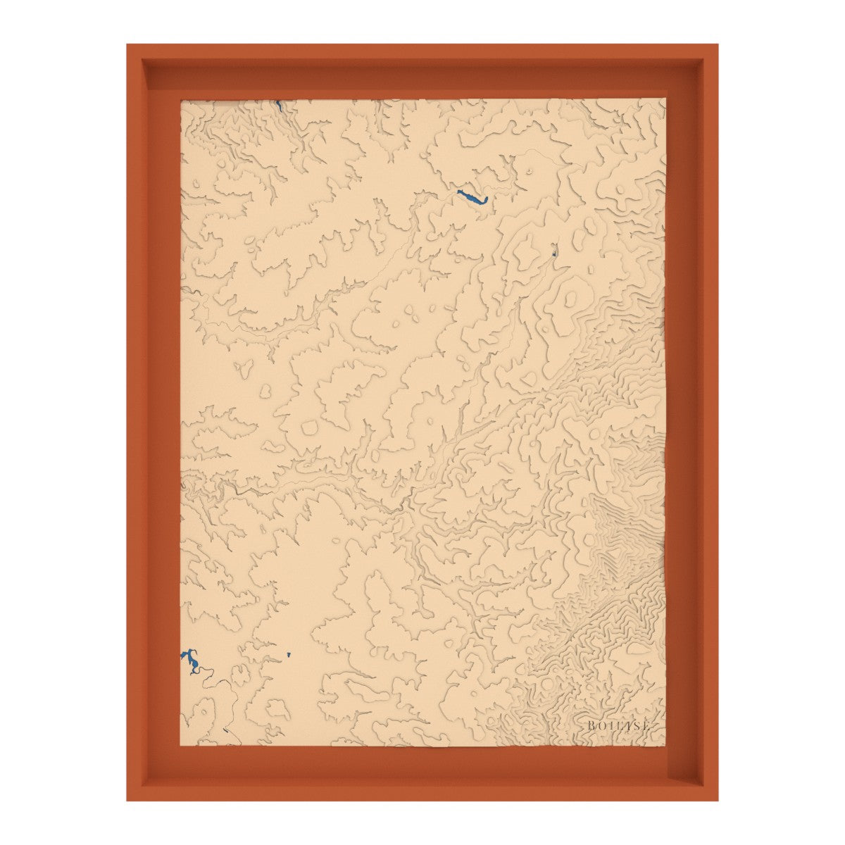
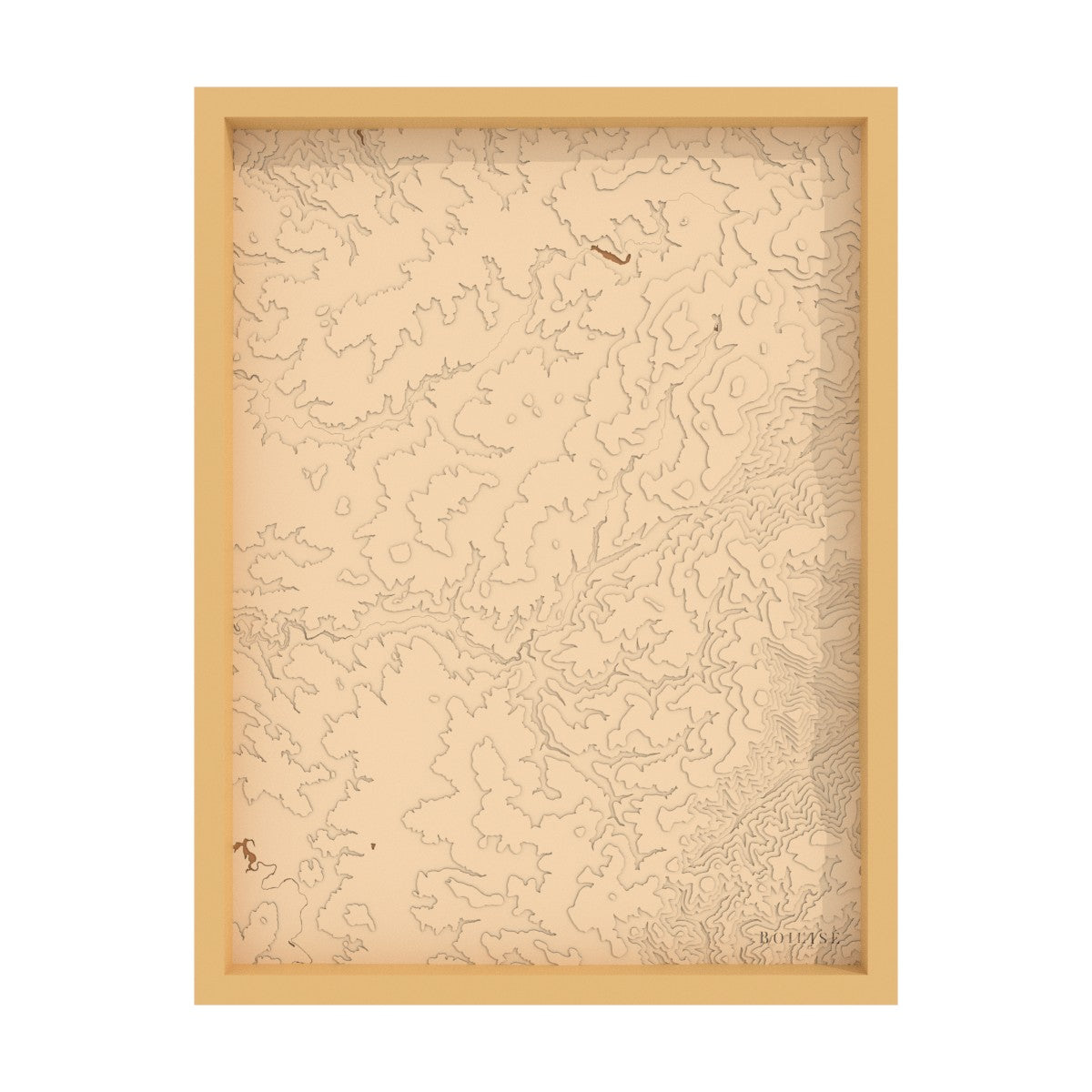
30cm x 40cm
Map of the Pouilly-Sancerre hillsides
Sale priceFrom 195 €
40cm x 50cm
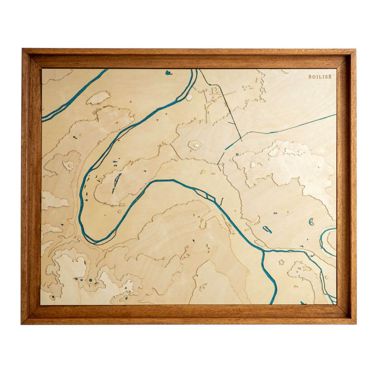
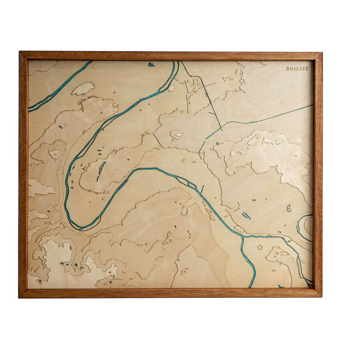
Map of Paris
Sale priceFrom 245 €
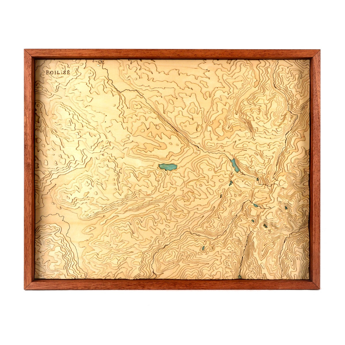
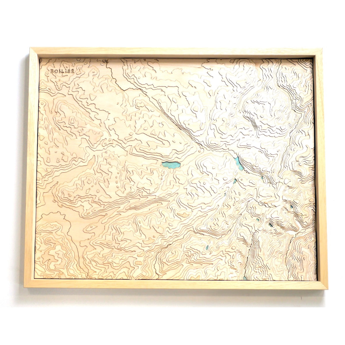
40cm x 30cm
Taillard Forest Map
Sale priceFrom 245 €
40cm x 50cm
Map of Lake Gerardmer - Ballons des Vosges
Sale price395 €