The making
Our topographical maps are made of lasercut wood and assembled by hand in France.
Production, choice of materials and suppliers are carried out with an eco-friendly approach .
Each artwork is customizable .
The alliance of technology and craftsmanship
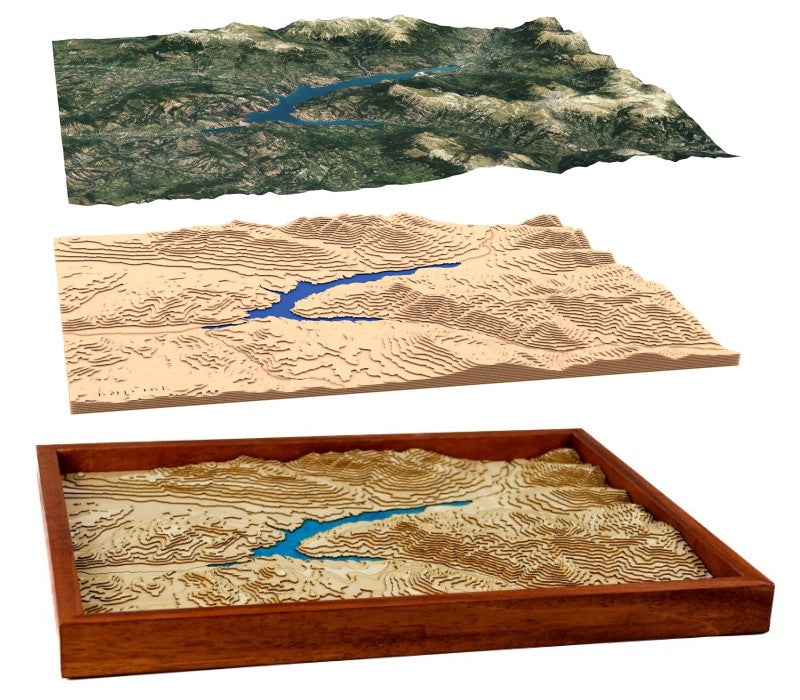
From satellite data
We use data from NASA 's SRTM mission and/or IGN data.
The result is to scale and representative of the relief of the recreated regions.
Contour lines are calculated by computer to create a 3D model.
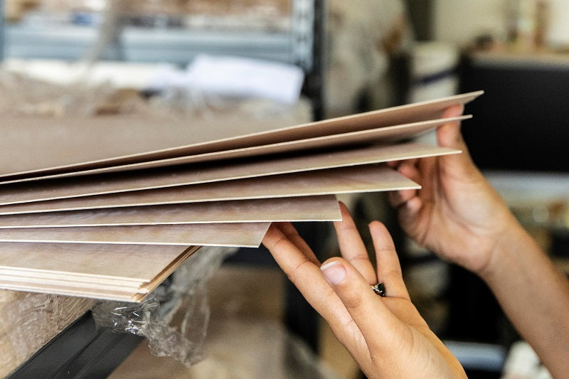
With carefully chosen wood
We use ultra-thin sheets of birch wood (between 0.6mm and 1mm) sustainably produced by a Finnish family lumber mill.
Our artworks do not contain any plastic material, including in the packaging.
You can customize your map
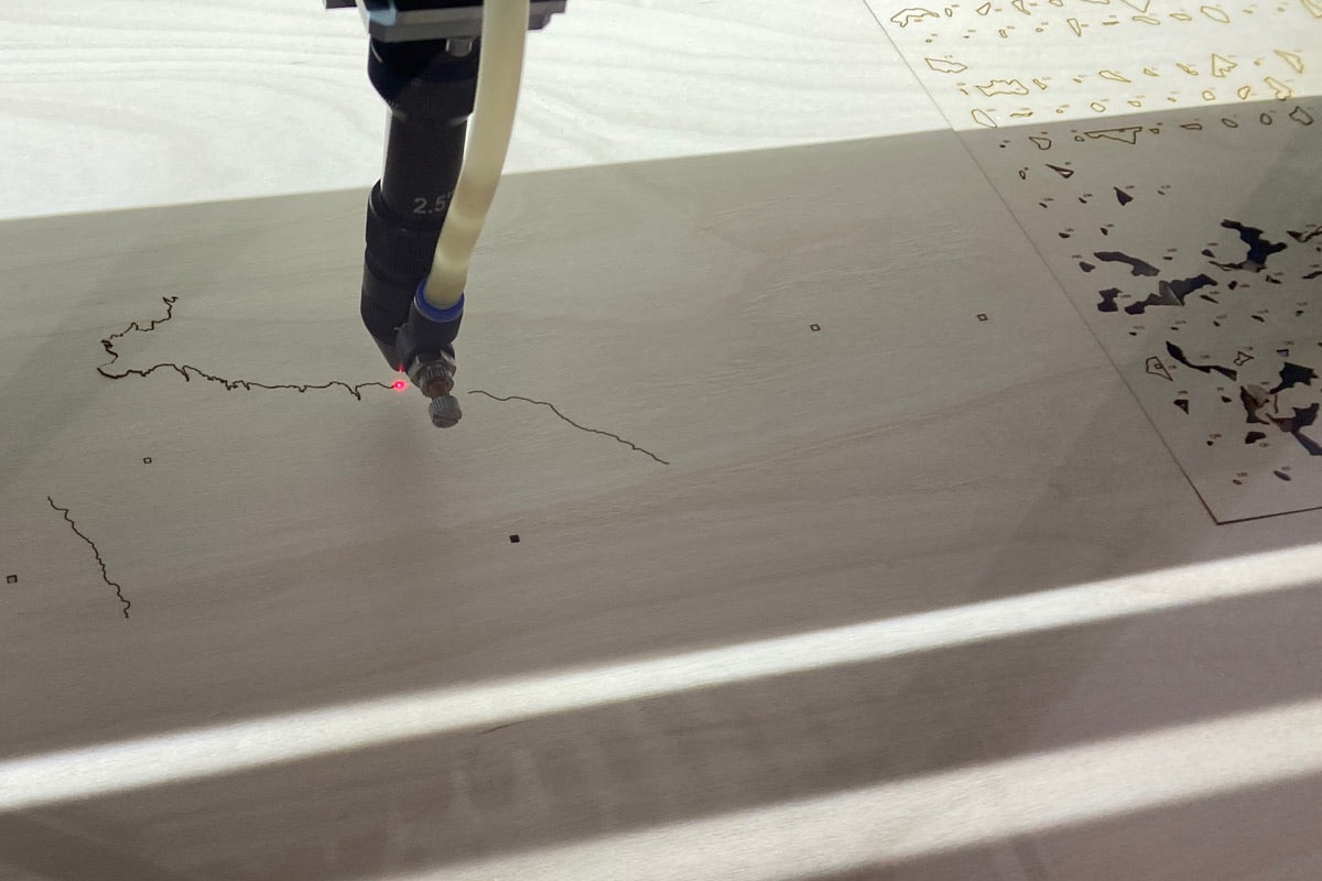
Precisely cut
We use a laser cutting machine to ensure the accuracy of the maps.
The cutting plans are optimized to reduce scrap and facilitate manual assembly.
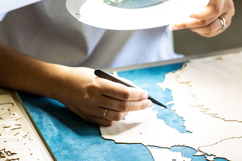
Assembled with patience
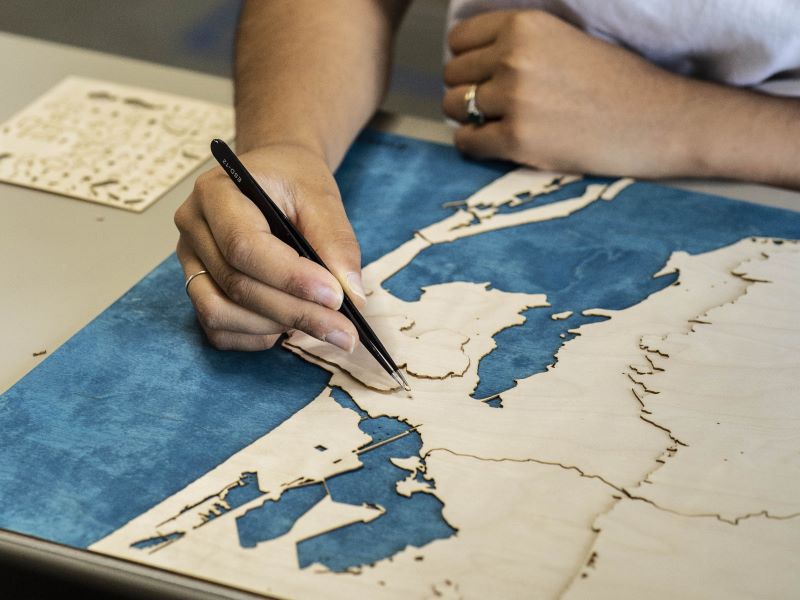
The water areas are hand painted with natural pigments.
All the pieces are glued one by one . There can be more than 500, some are less than 2 mm.
A precise and unique map
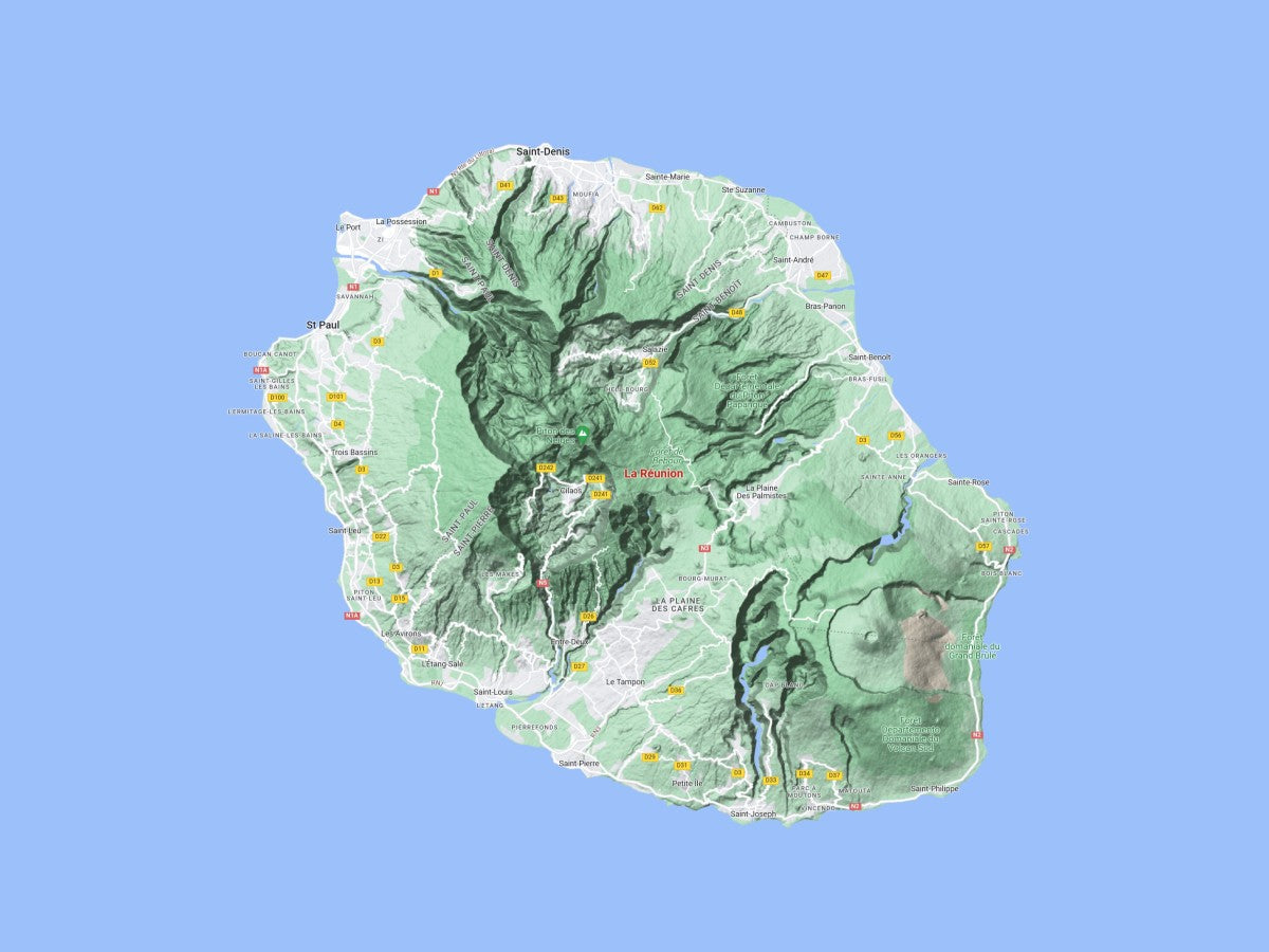
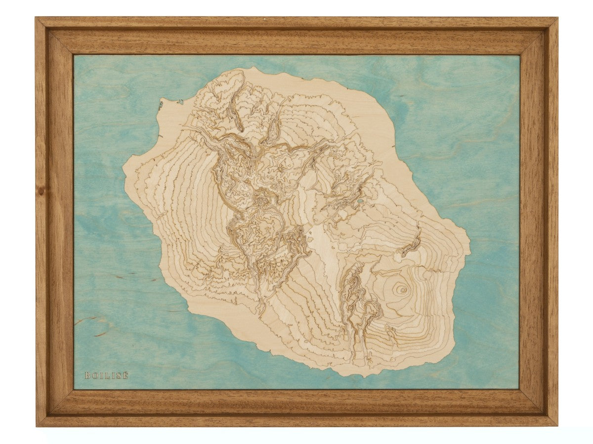
Manufacturing on video
Our customers love their maps
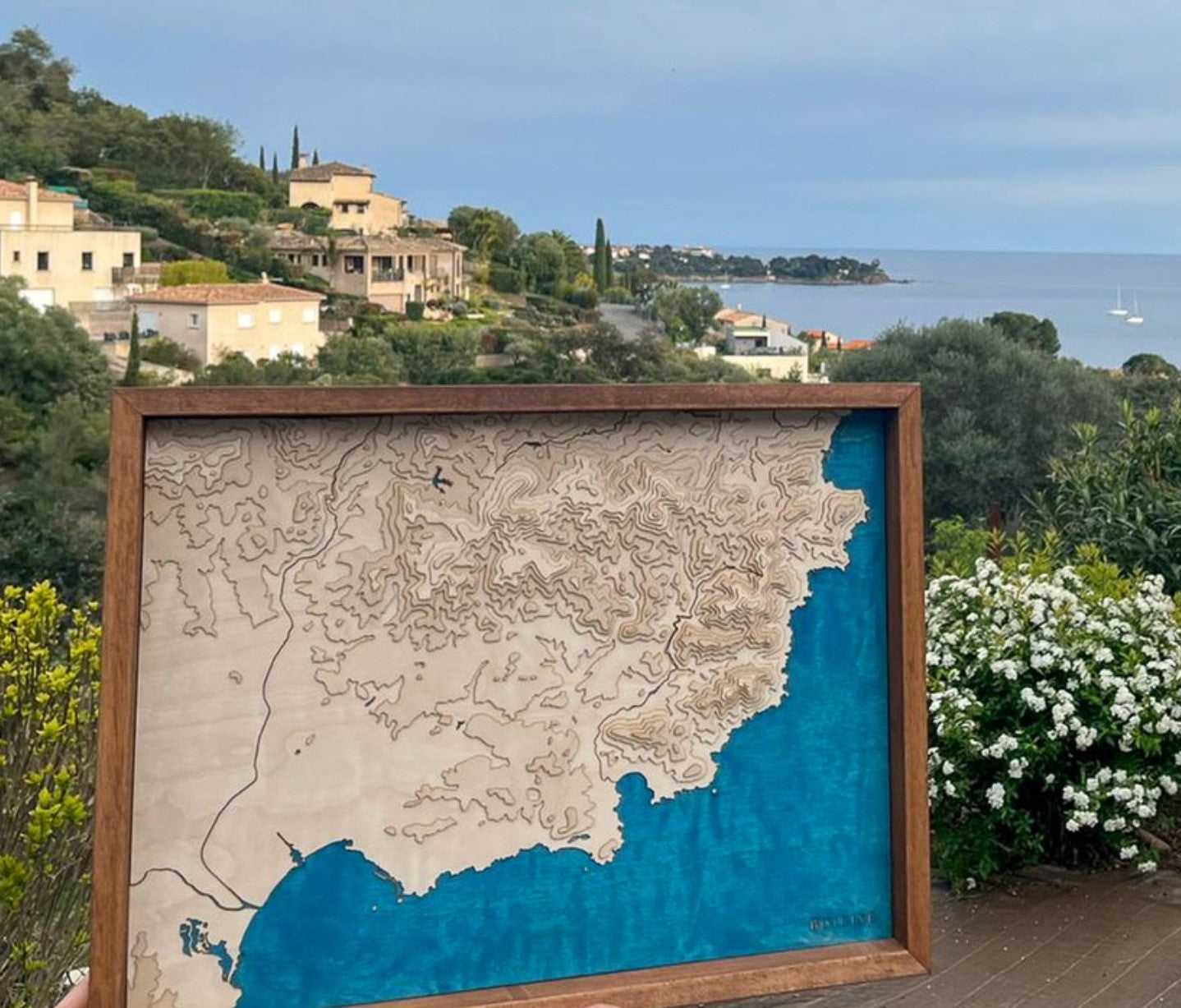
Cedric C.
Map of the Estérel massif
The finish is very careful and we find all the details of the coast and the reliefs of our region.
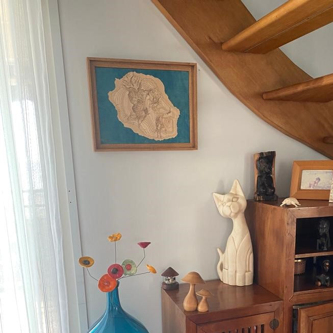
Laura M.
Map of Reunion
The map is magnificent, very well made, well detailed, even more beautiful in real life than in the photos on the site.
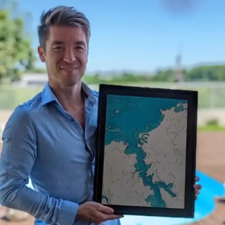
Léa C.
Map of Saint-Malo
Magnificent painting, and passionate and very kind people to help us achieve the desired result.


