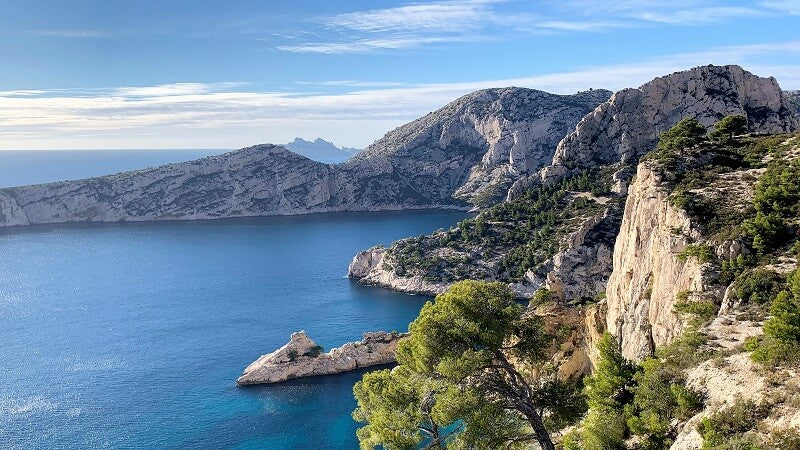
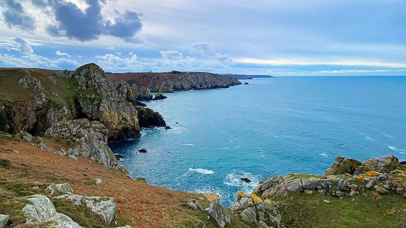
Mediterranean
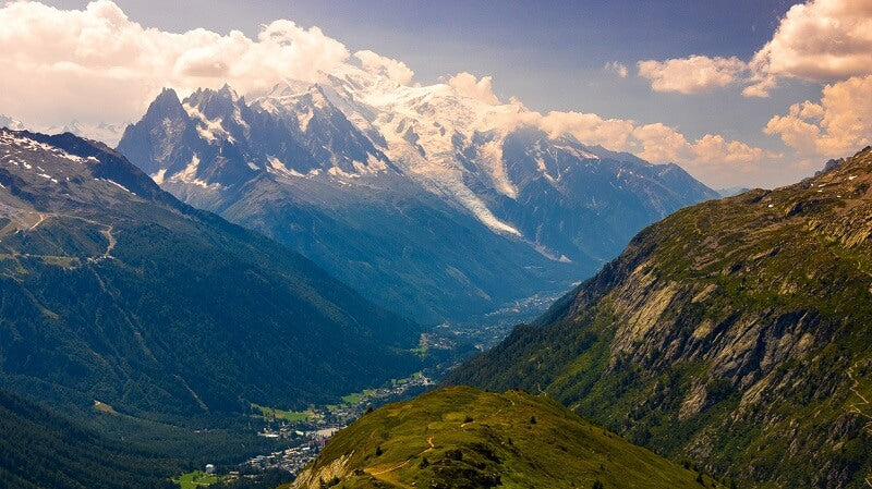
Alps
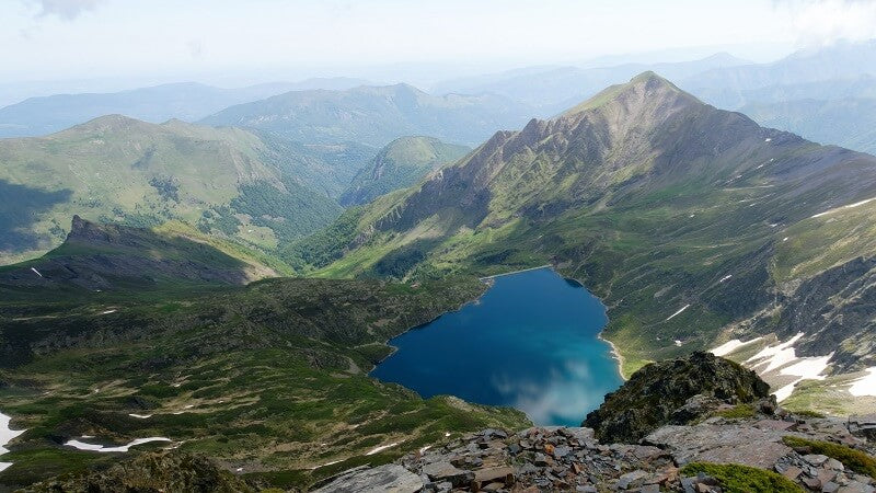
Pyrenees
We respect your privacy
We and our partners use cookies and other technologies to improve your experience, measure performance and adapt marketing.
Details in our Privacy Policy
Your cart is empty
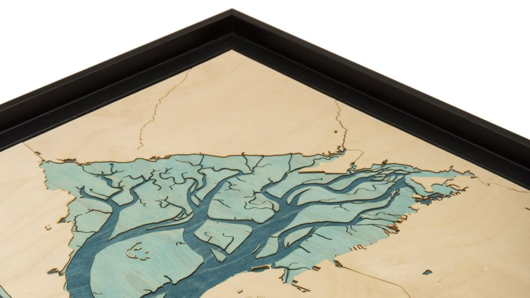
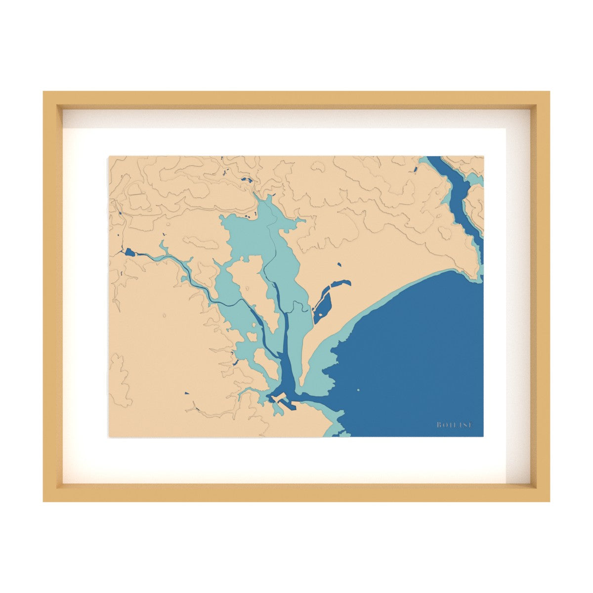
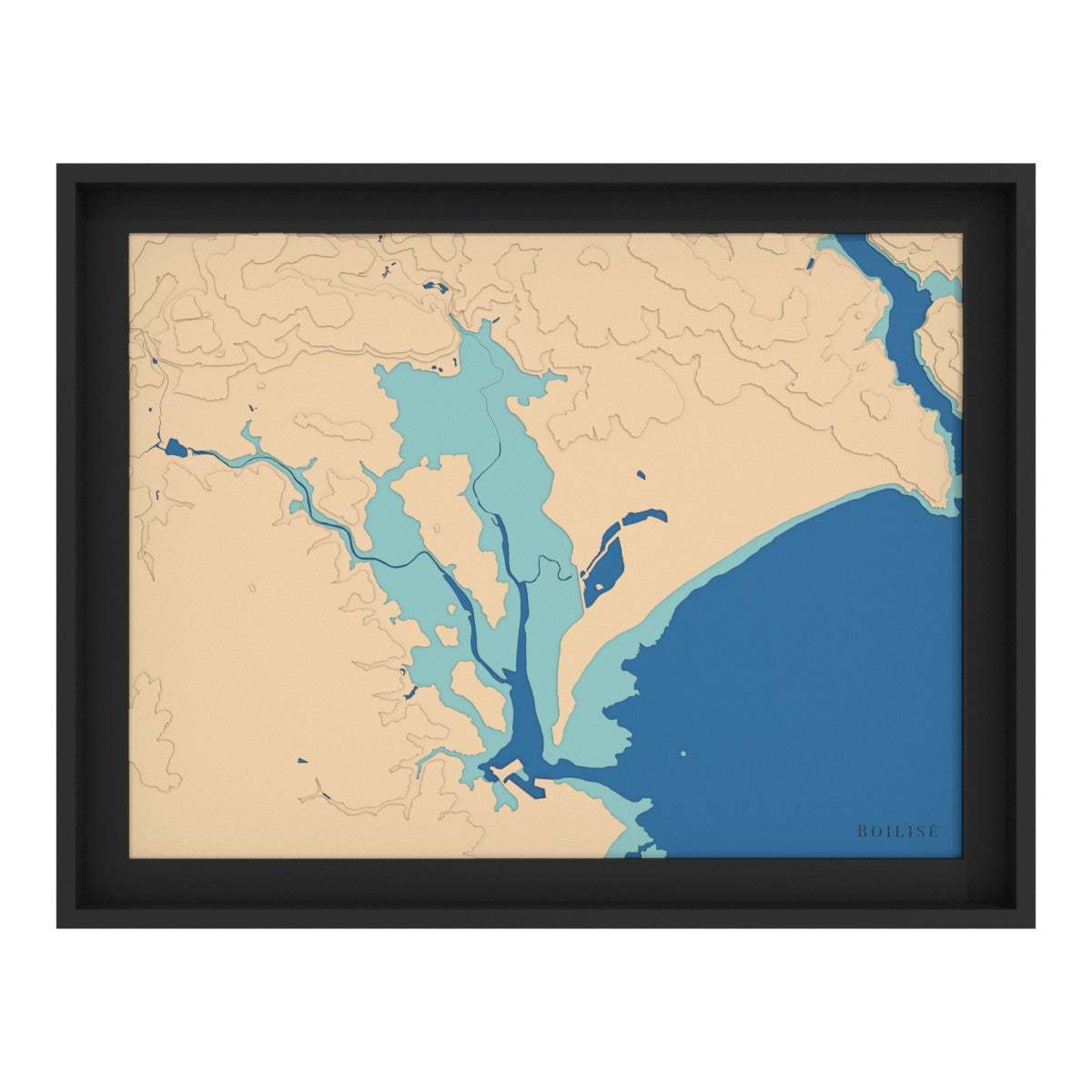
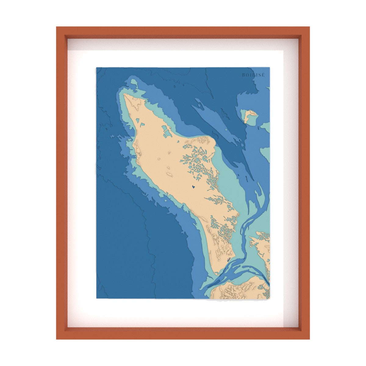
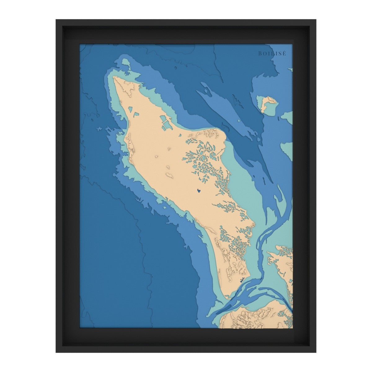
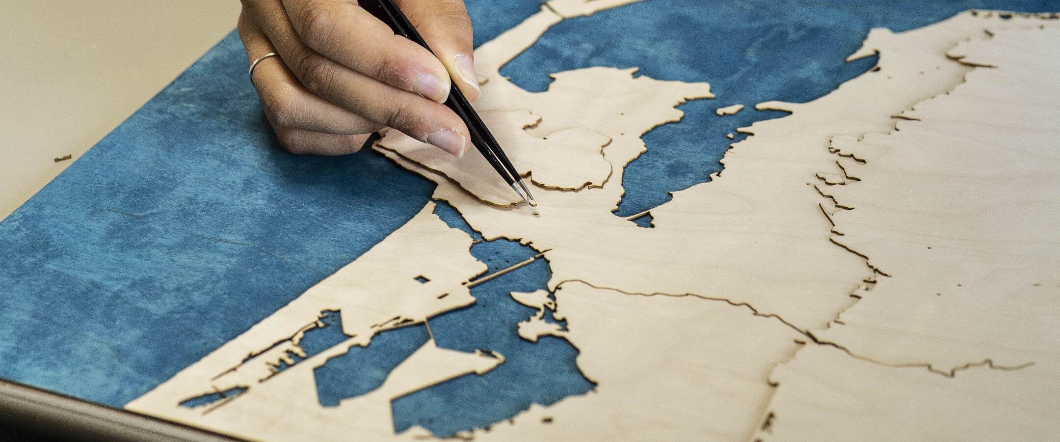
Our wooden topographical maps of the Atlantic and the Channel faithfully reproduce the coastal layout and the rhythm of the tides.
A tangible representation which precisely maps the variations of the coastline, for lovers of the sea and its changing landscapes.
22 products
The Atlantic and Channel coasts, from the Basque country to the north of France via Brittany, often have little relief.
To compensate, we represent the foreshore (the land periodically submerged at high tide) with an intermediate color.
To decorate a seaside house or simply represent your little corner of paradise, these cards are ideal.
Atlantic and Channel
Pyrénées
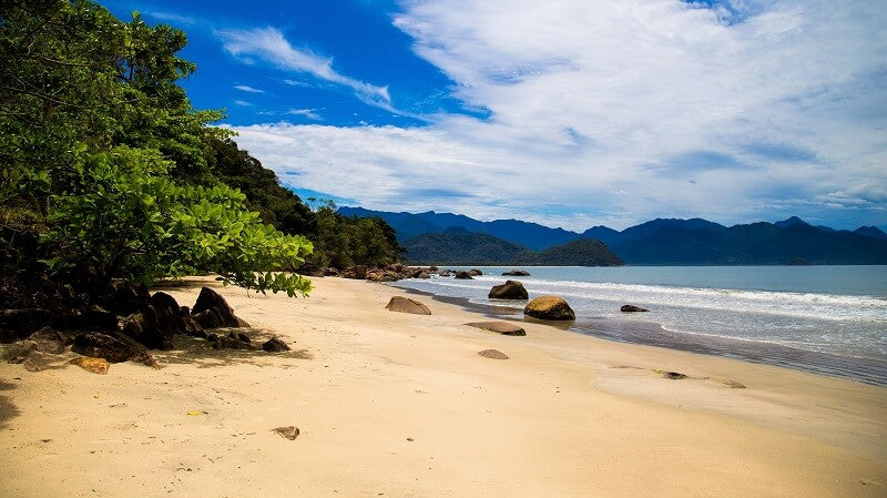
Islands and overseas
East Center
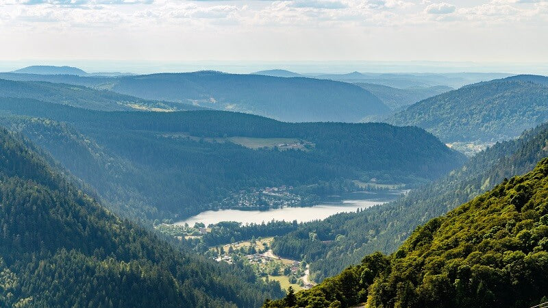
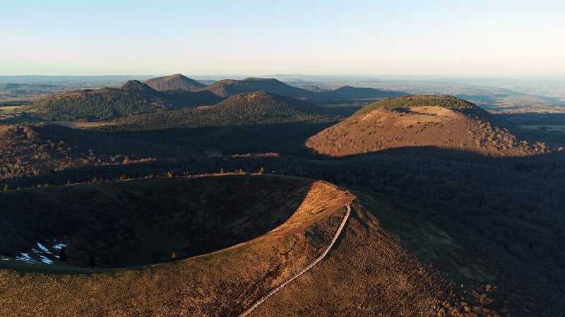
The Massif Central
International maps