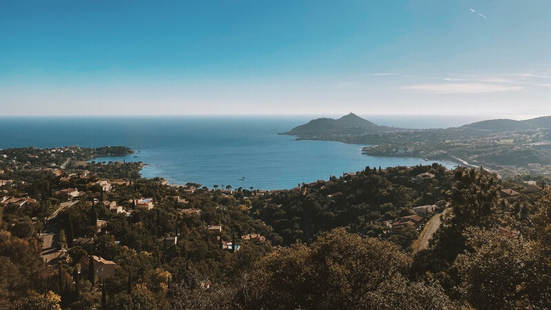
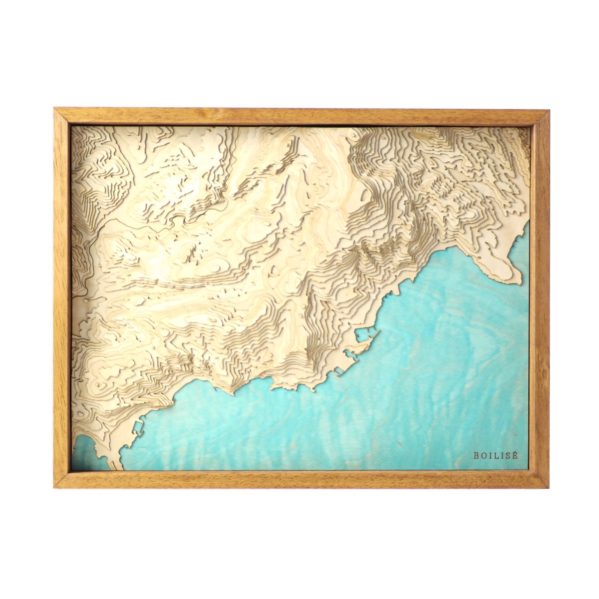
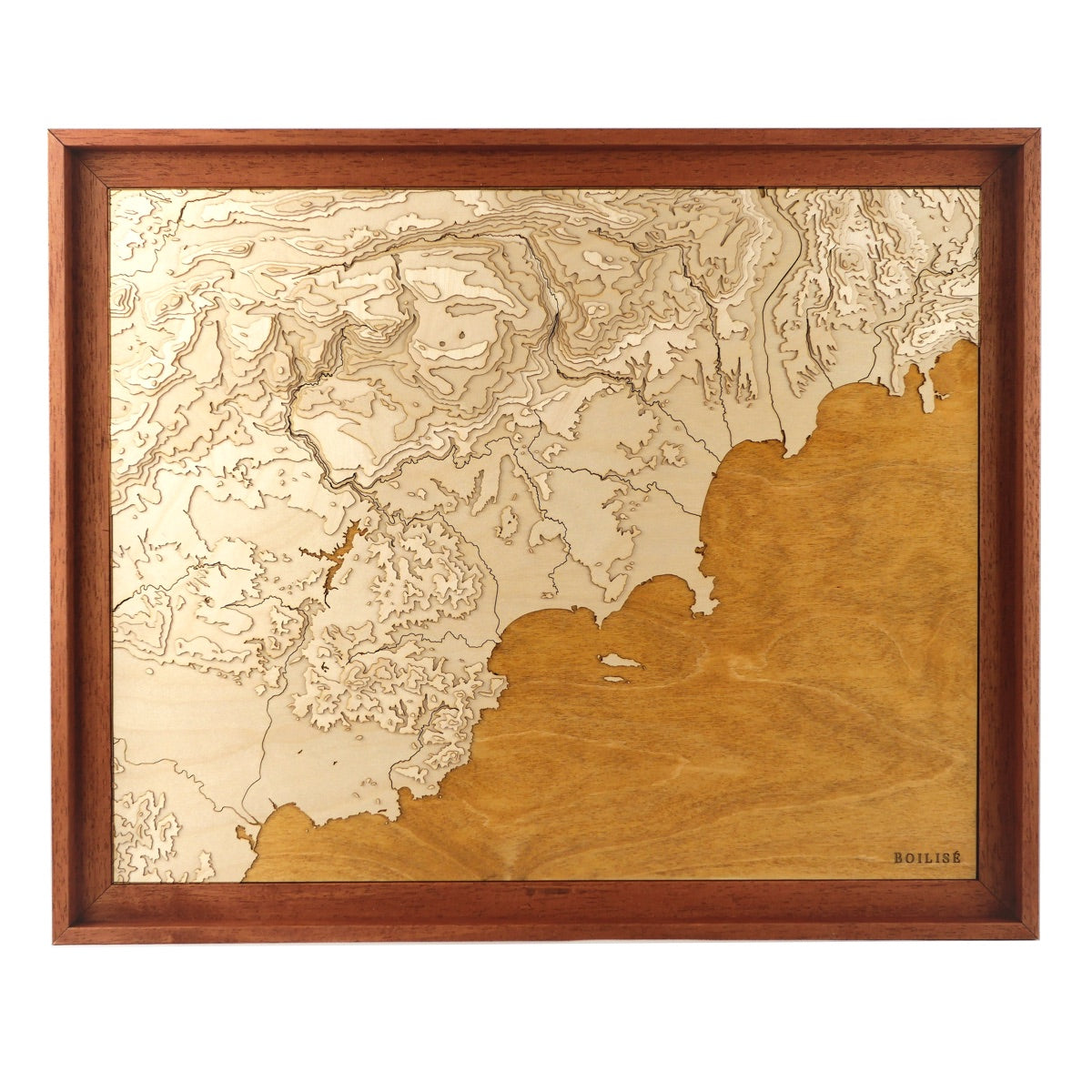
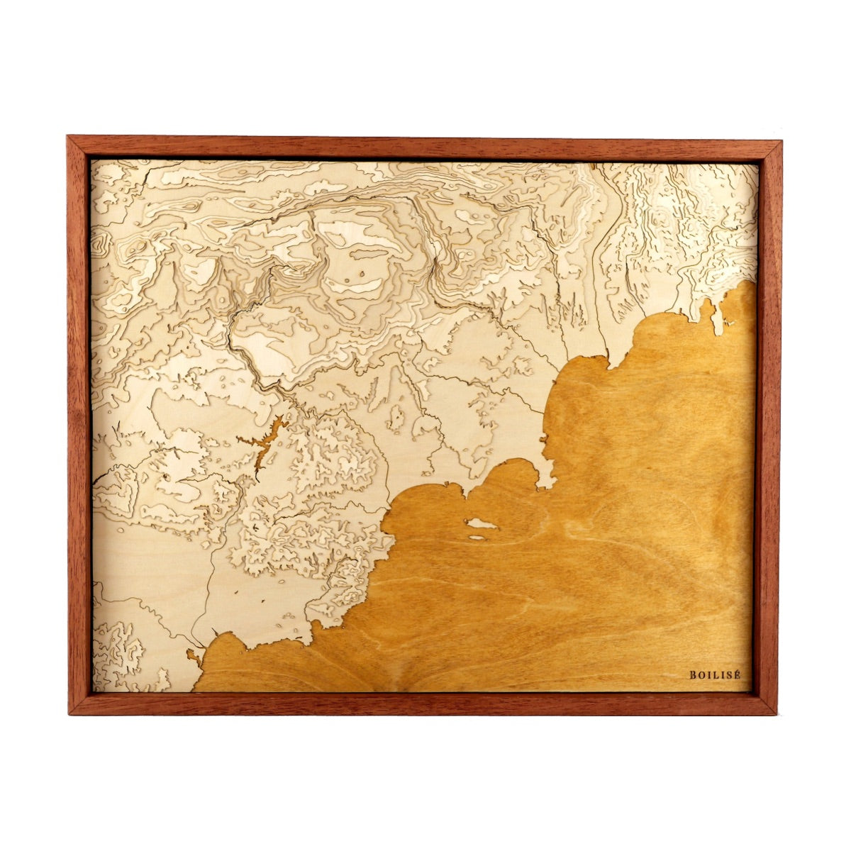
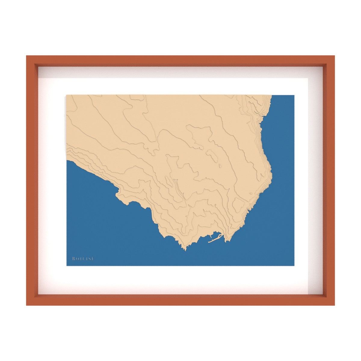
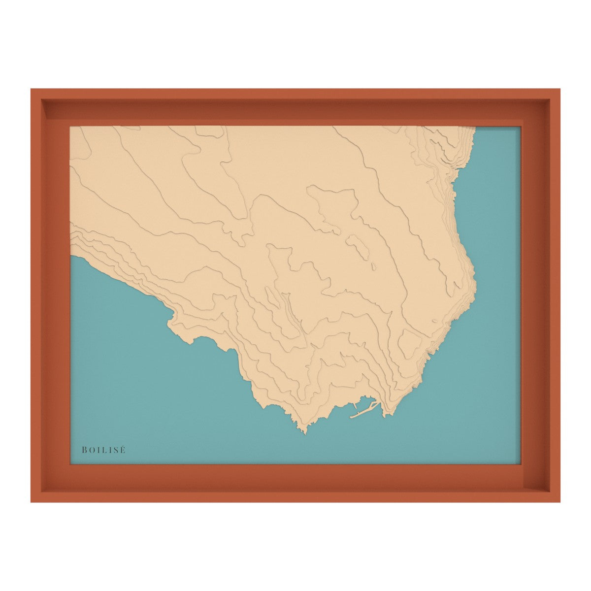
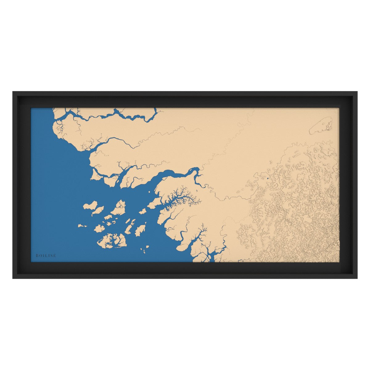
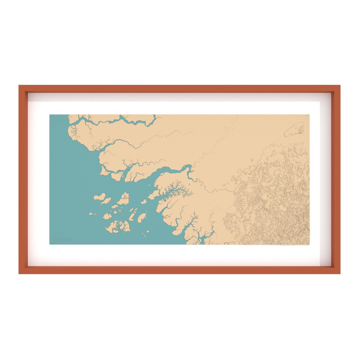
Baie de Saint-Raphaël

The coasts

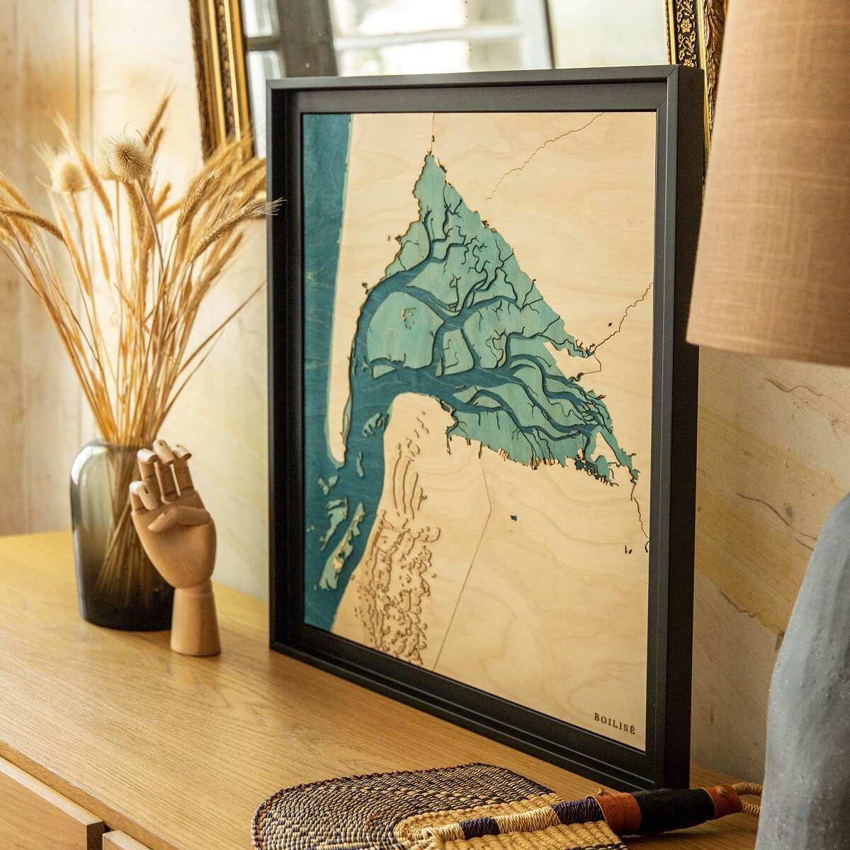
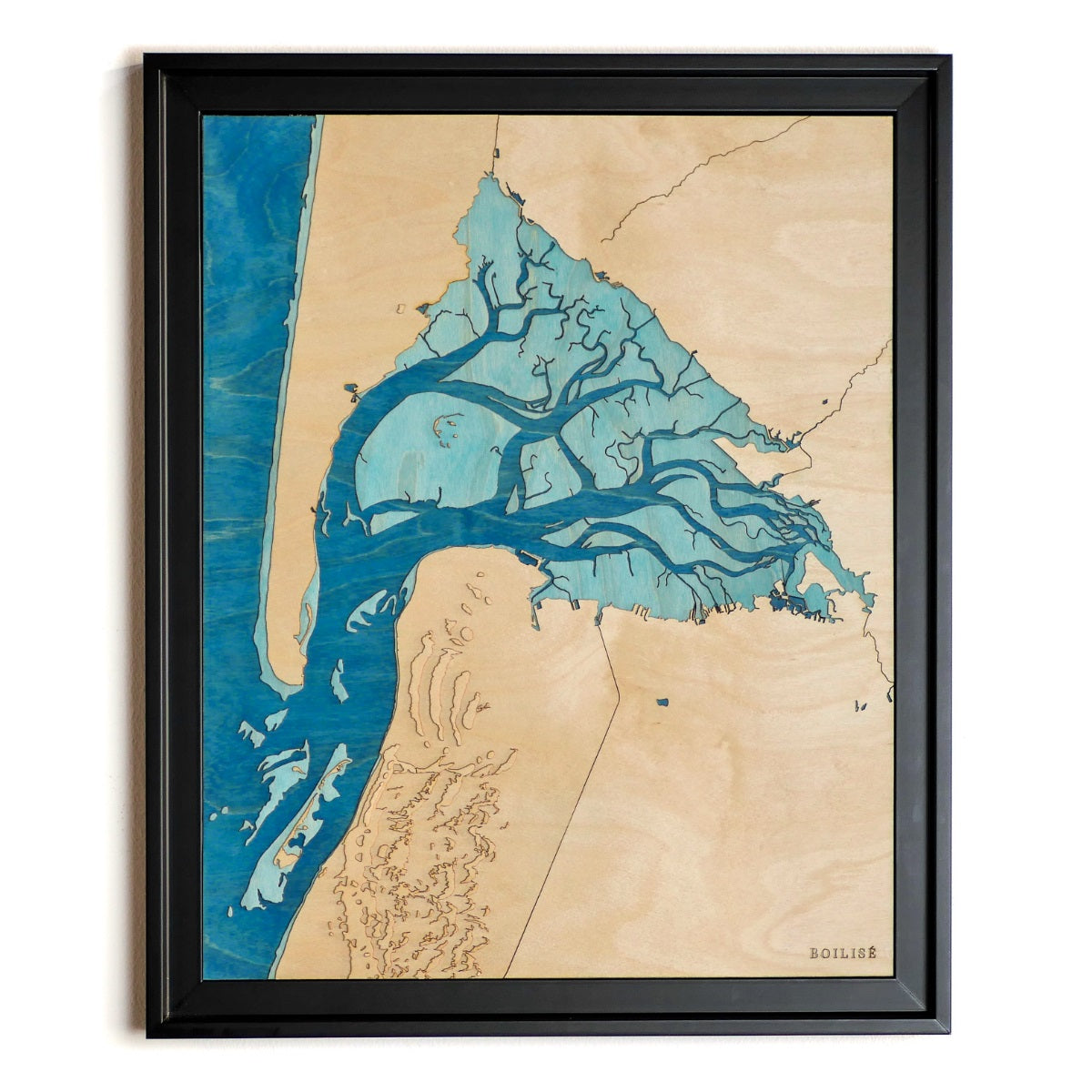
Wooden and relief topographic maps of coasts.

The coasts at the foot of mountain ranges benefit from the plunge of the relief into the water when the play of the tides gives all its charm to the Atlantic coasts.

48 products

50cm x 40cm
Carte du bassin d'Arcachon posée sur un meubleTableau du bassin d'Arcachon, caisse américaine noire et océan bleu marine
40cm x 50cm
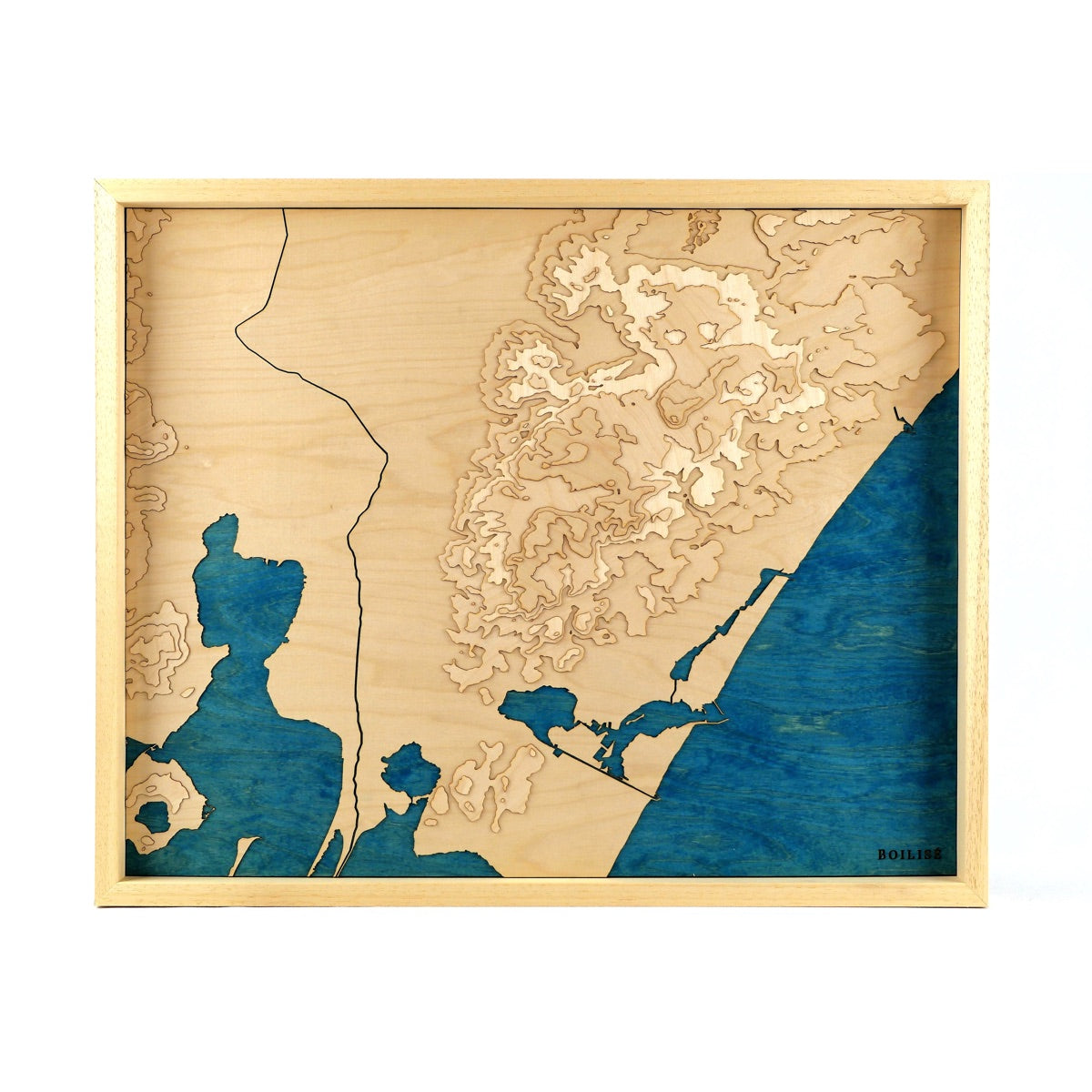
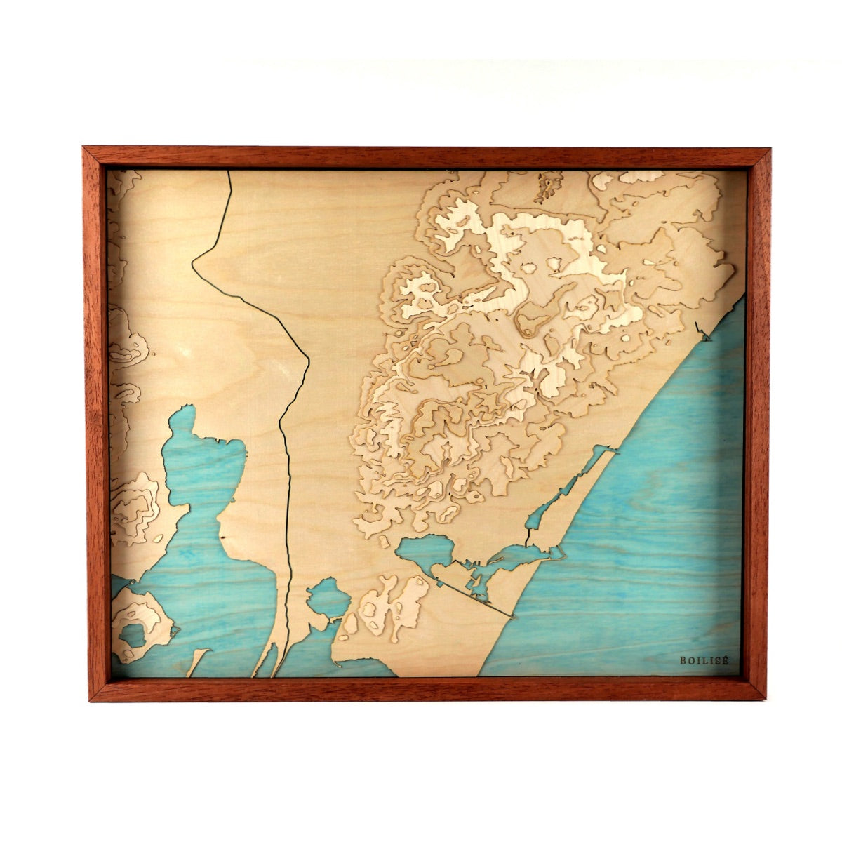
Carte topographique en bois du massif de la clape, méditérannée bleue marine et cadre brutCarte topographique en bois du massif de la clape, méditérannée turquoise et cadre brun
Map of Narbonne - Massif de la Clape Sale priceFrom 245 €
40cm x 50cm
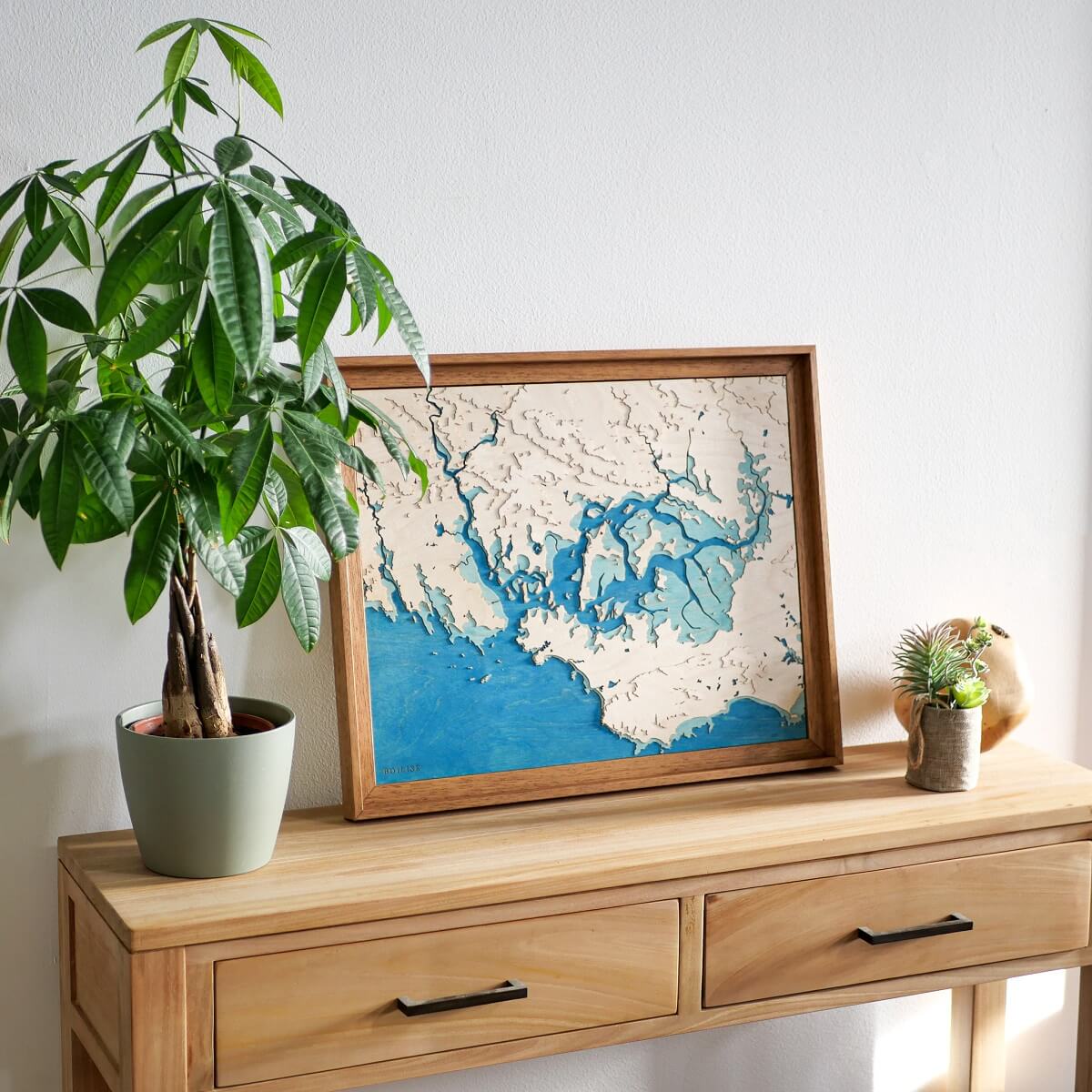
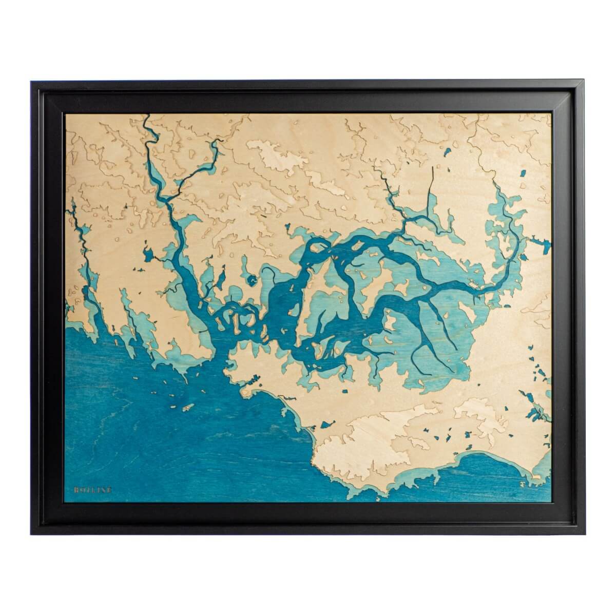
Tableau du golfe du Morbihan posé sur une commode en boisCarte topographique en bois et en relief du golfe du Morbihan
Map of the Gulf of Morbihan Sale priceFrom 245 €
50cm x 40cm
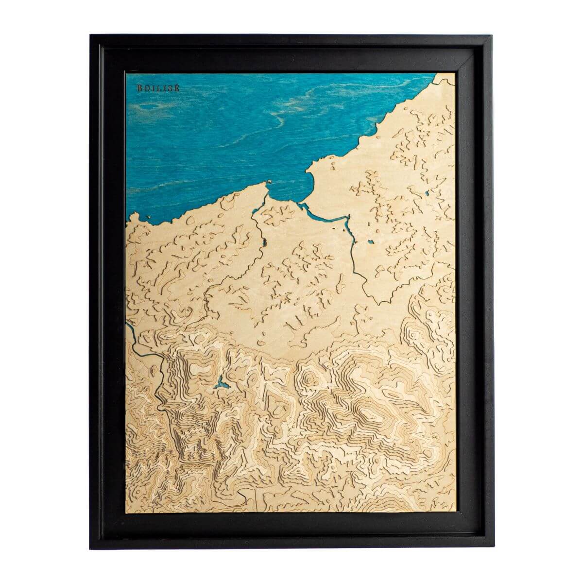
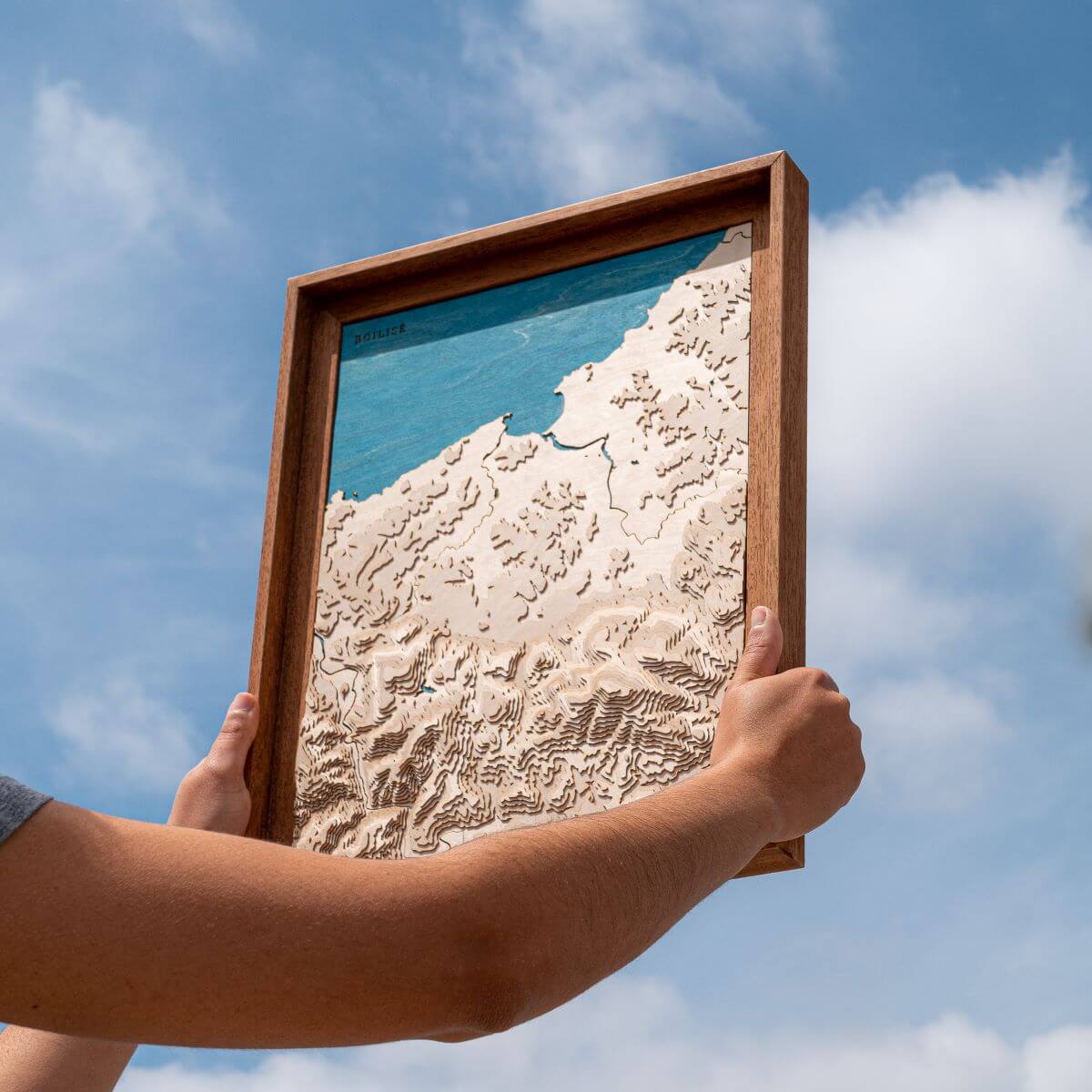
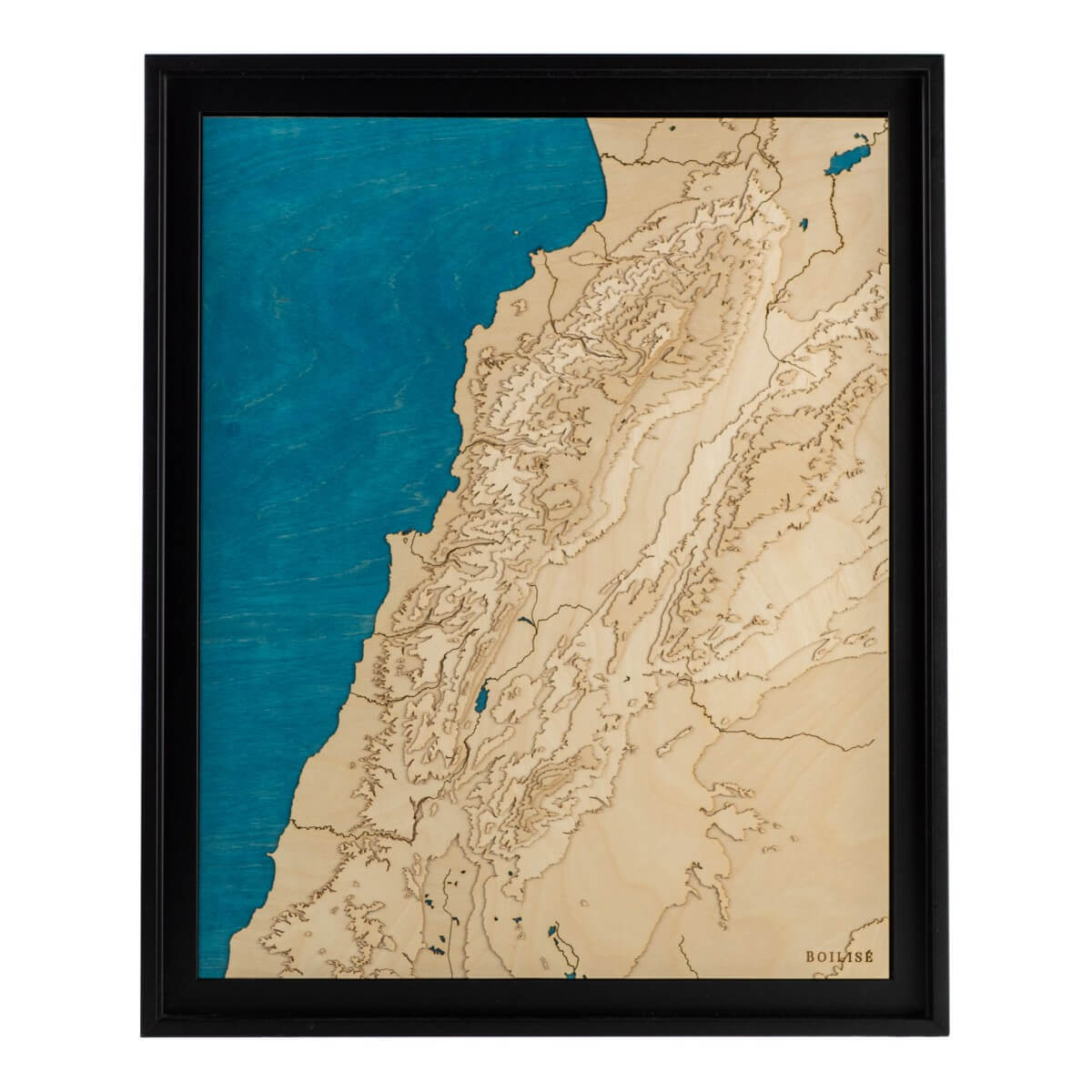
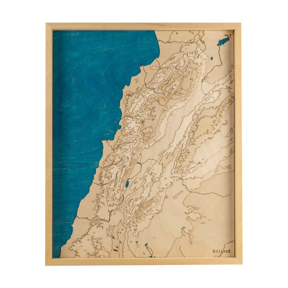
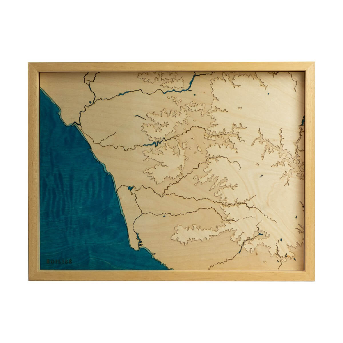
Carte du Liban en reliefCarte topographique du Liban
Map of Lebanon Sale priceFrom 295 €
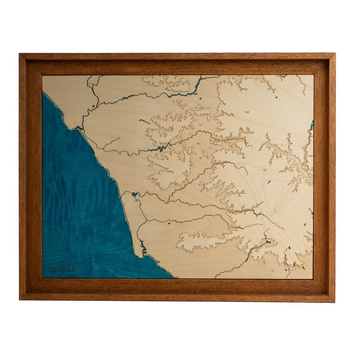
40cm x 30cm
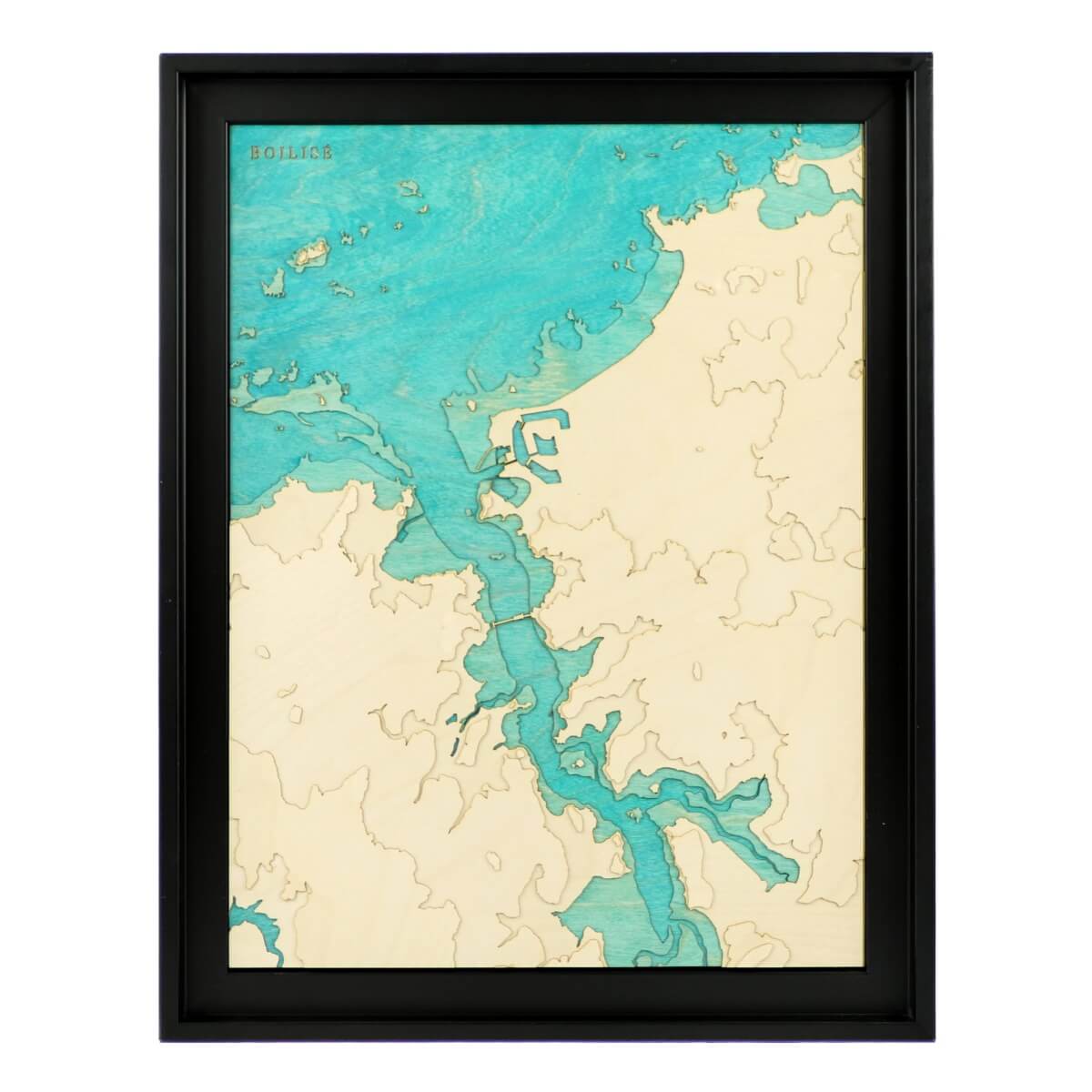
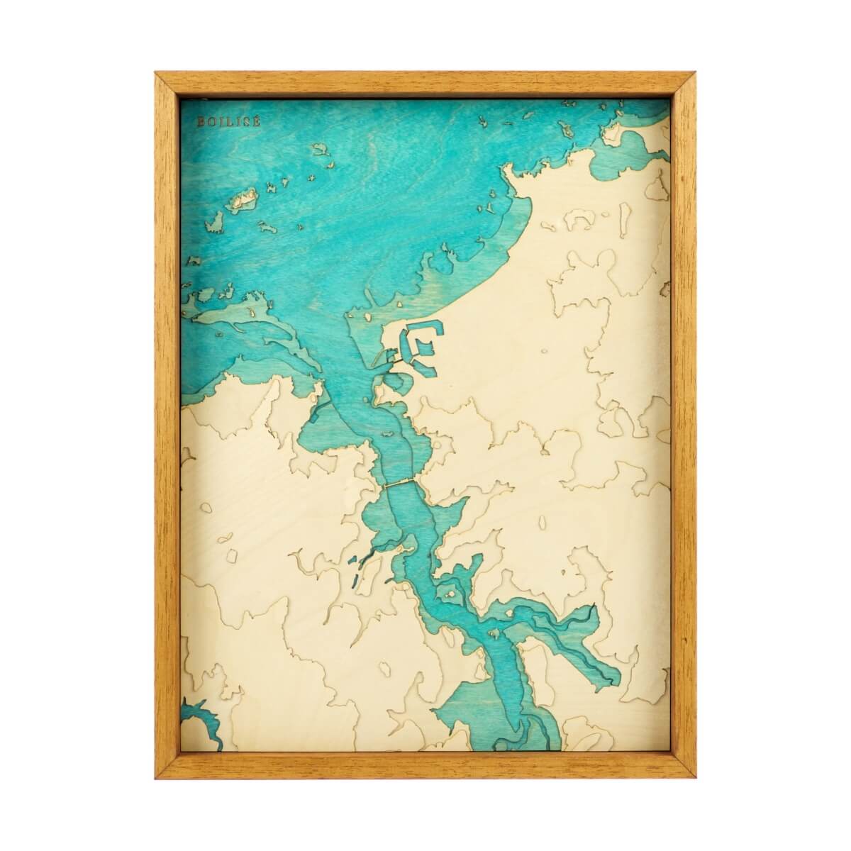
Carte de Sant MaloCarte en relief de Saint-Malo
30cm x 40cm
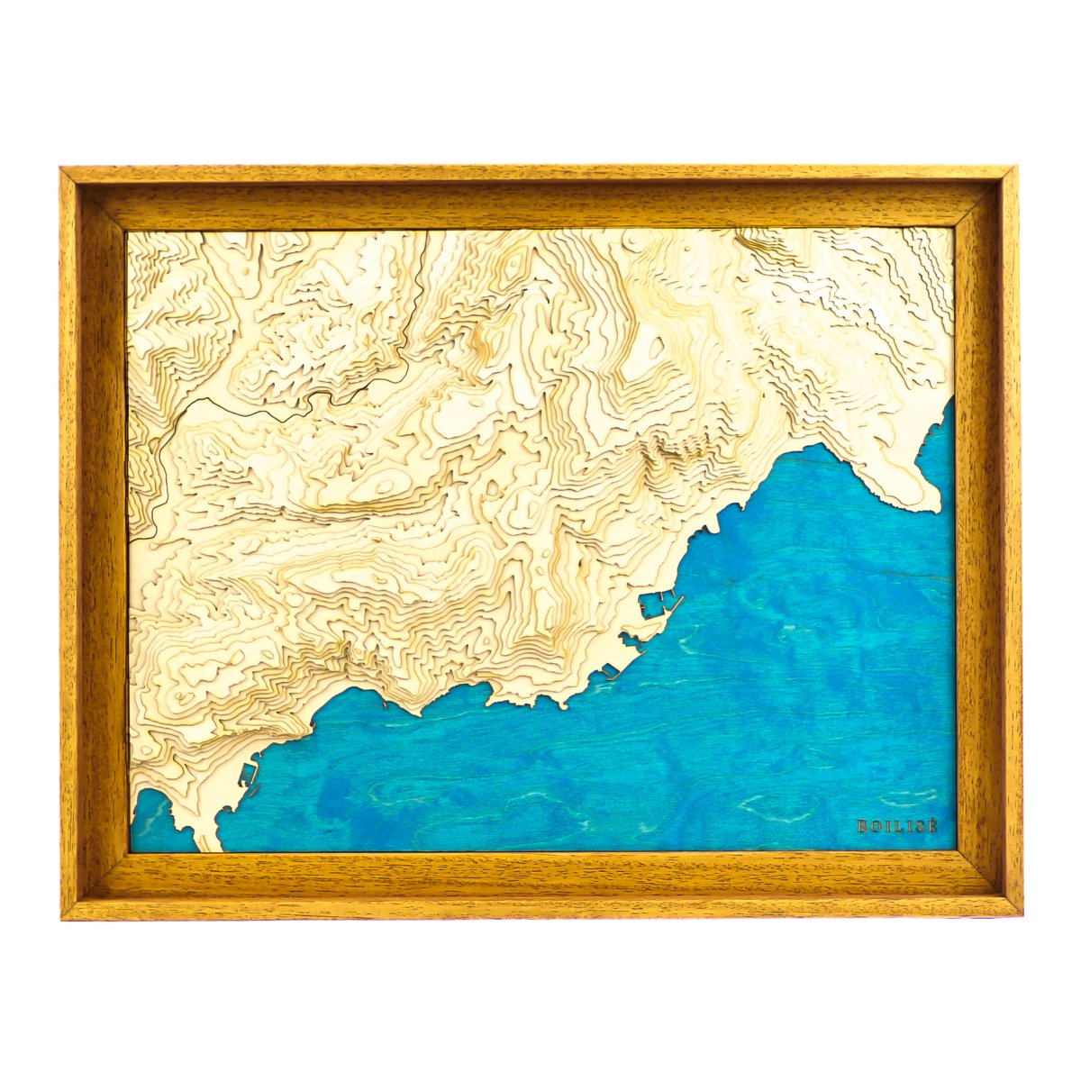
Map of Monaco - La TurbieMap of Monaco - La Turbie
Map of Monaco - La Turbie Sale priceFrom 245 €
30 cm x 40 cm
Carte du Cap et de la baie False (Afrique du Sud)Carte du Cap et de la baie False (Afrique du Sud)
30 cm x 40 cm
Carte de Whitehaven Beach (Australie)Carte de Whitehaven Beach (Australie)
30 cm x 40 cm
Carte de l'Anse du PouldonCarte de l'Anse du Pouldon
Carte de l'Anse du Pouldon Sale priceFrom 195 €
40cm x 30cm
Map of the Gulfs of Tunis and HammametMap of the Gulfs of Tunis and Hammamet
30cm x 40cm
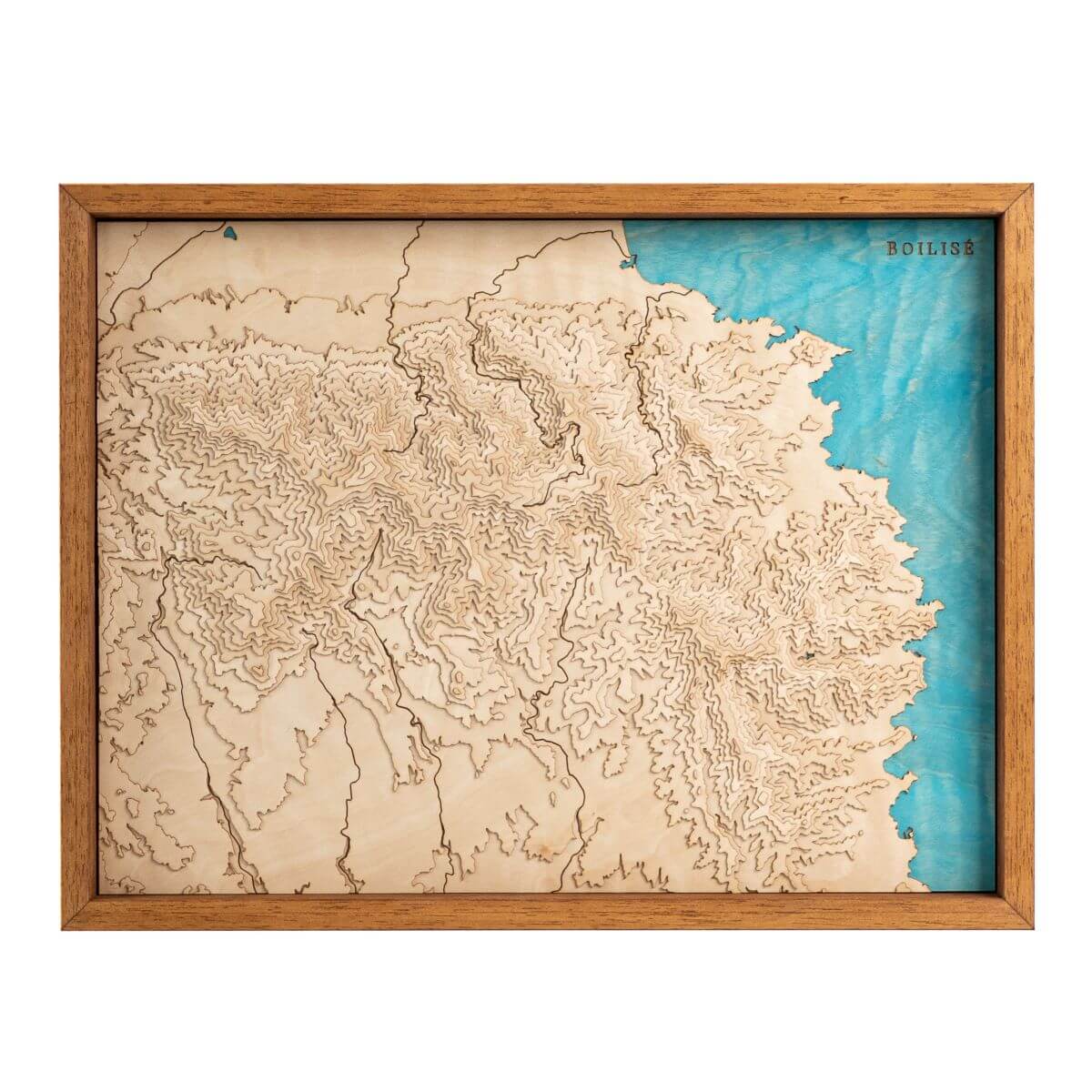
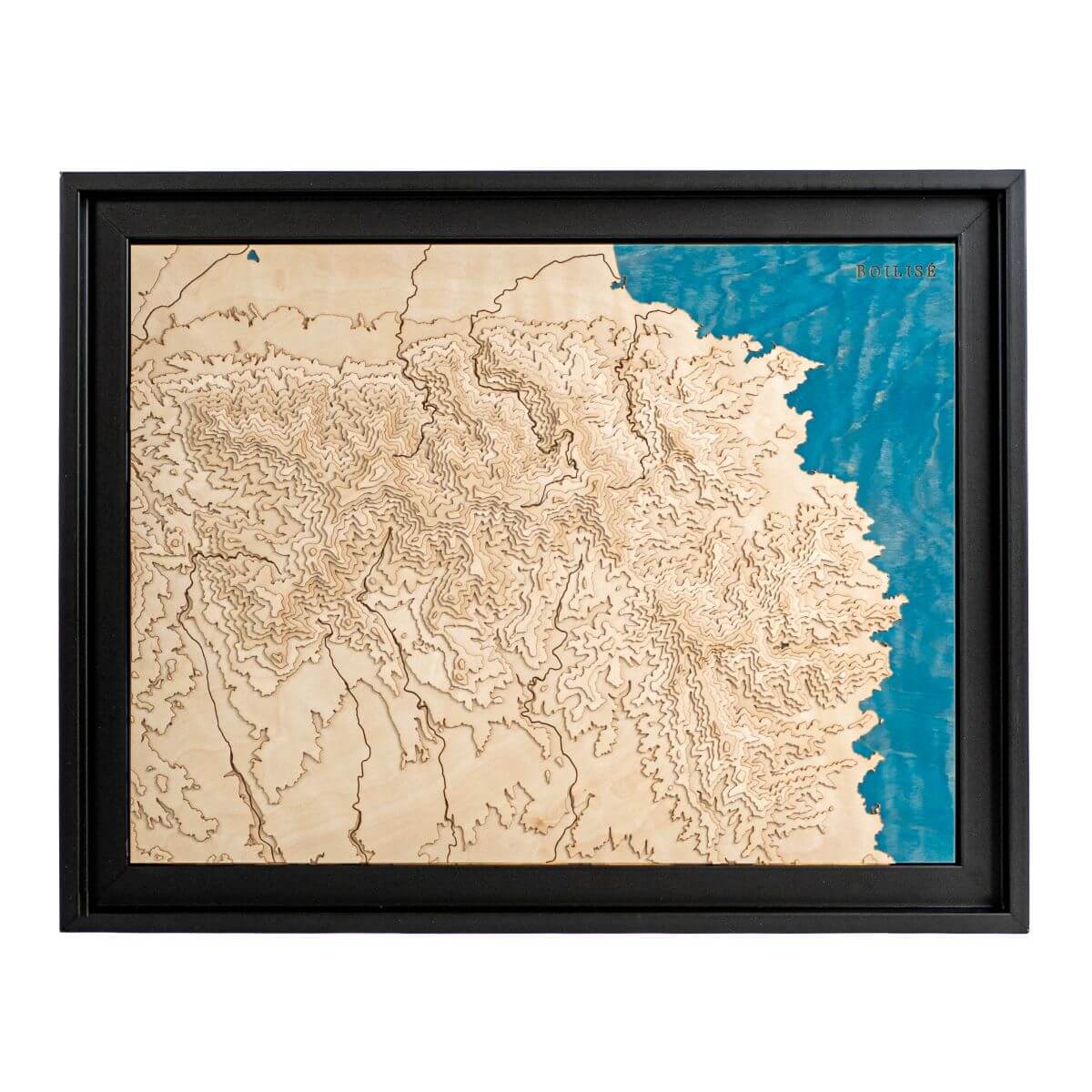
Carte du massif de l'Estérel dans une caisse américaine bruneCarte topographique en bois du massif de l'Estérel dans une caisse américaine noire
Map of the Estérel massif Sale priceFrom 245 €
40cm x 30cm
Map of Skadar Lake and Morača Valley (Montenegro)Map of Skadar Lake and Morača Valley (Montenegro)