
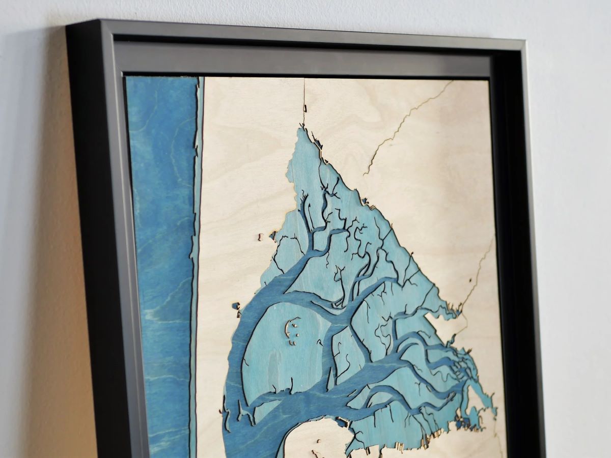
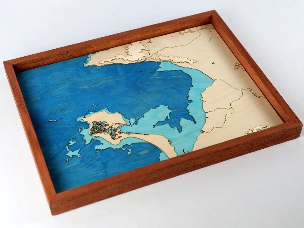
The wooden topographical map of the Arcachon basin: a surprising lung
Loving the region from the ground up, we discovered another facet of the Arcachon basin by creating this unique work: its striking resemblance to a lung at low tide. The dunes, and in particul...
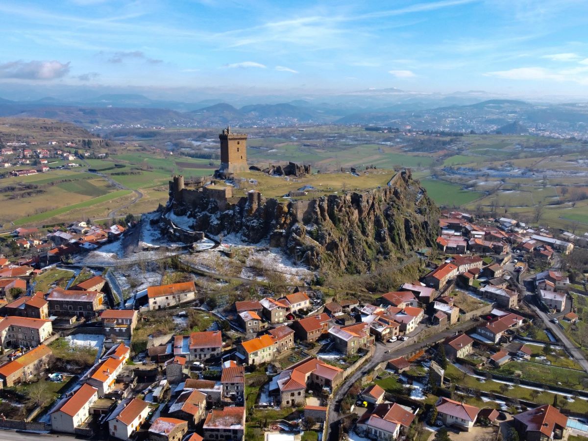
The topographic relief map of Puy-en-Velay
A new Auvergne menu joins the BOILISÉ catalog, once again to meet the request of a lover of the region. This is Puy-en-Velay and its surroundings! The wooden topographic map and its precision ...
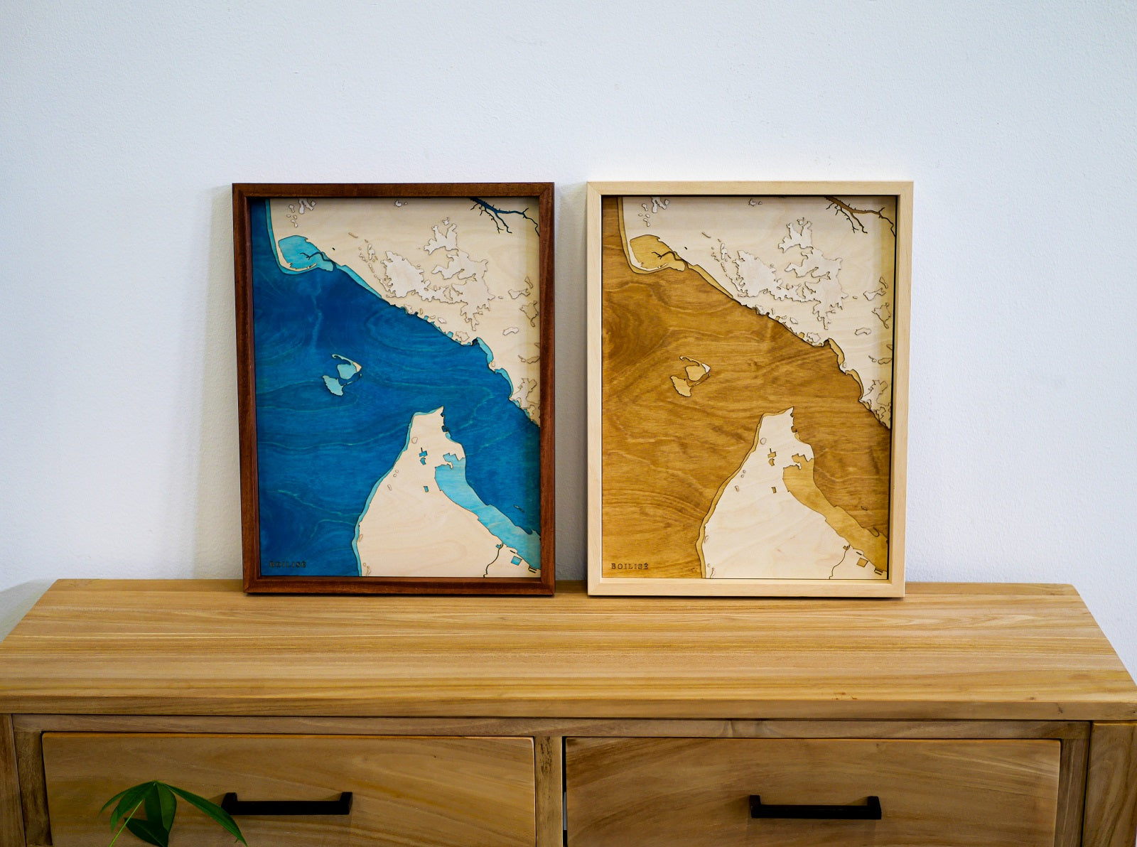
The Gironde estuary is available in brown on BOILISÉ
The Gironde estuary and the coastal towns of the region join the BOILISÉ catalog. At the request of a customer, we innovated with a brown foreshore.
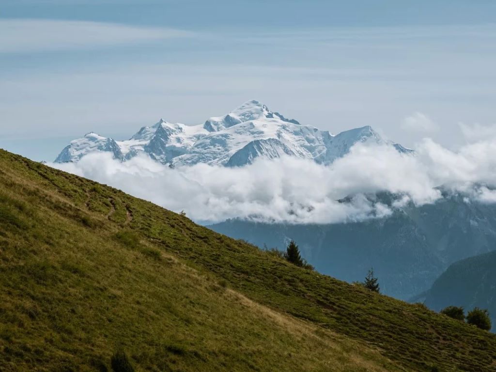
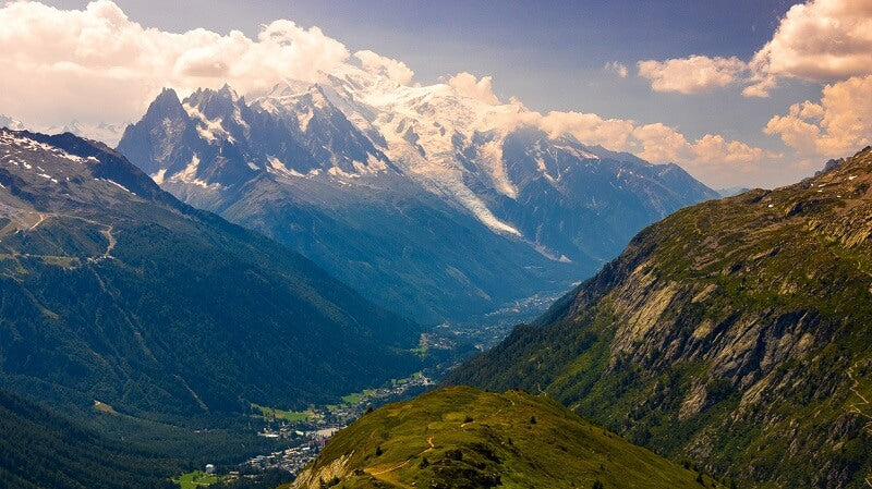
The Mont Blanc massif and the Chamonix valley are illustrated in the BOILISÉ catalogue: more than 4000m of altitude difference and 300 pieces assembled by hand for this masterful work!
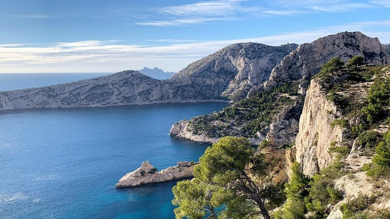
To add Bourgneuf Bay to the catalog and respond to the request of an interior designer who loves the region, we had to innovate with colors and tides!
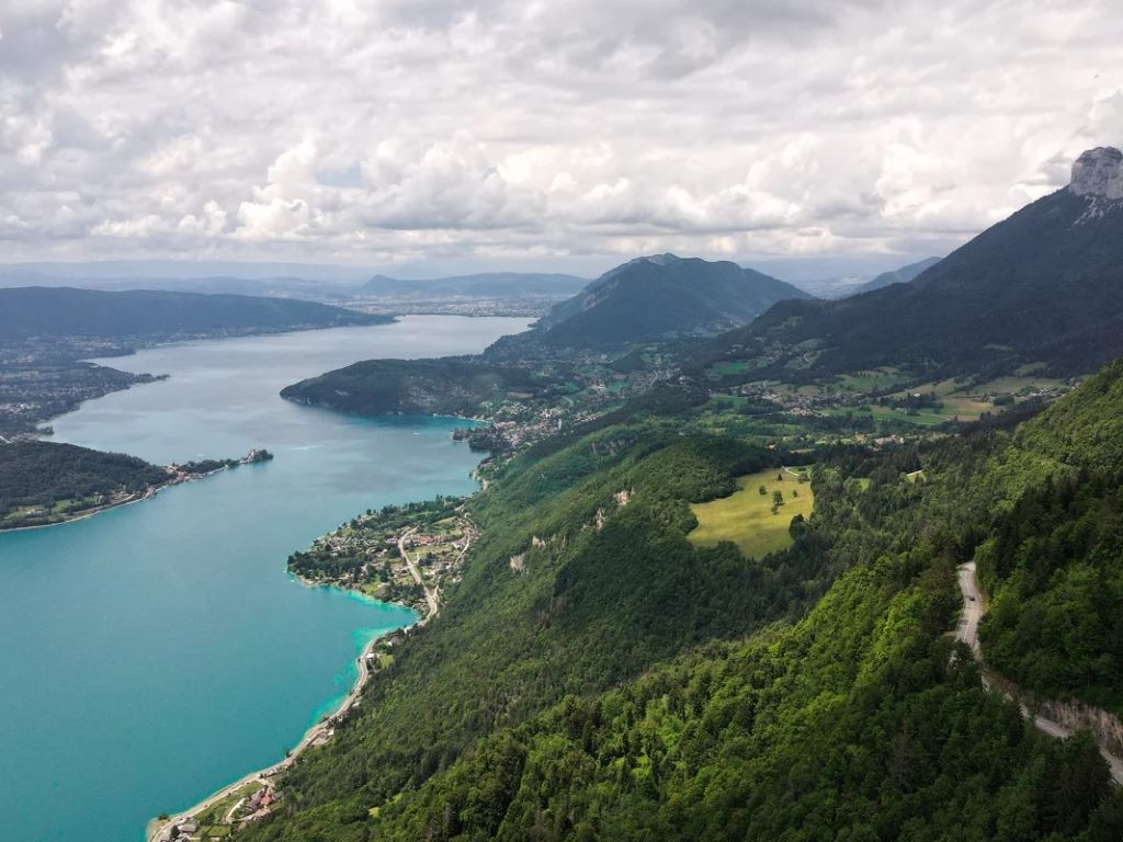
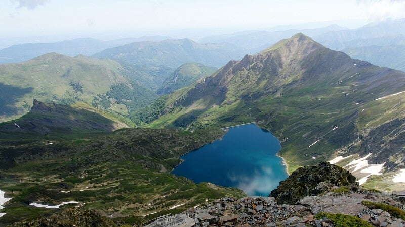
The magnificent setting of Lake Annecy is surrounded by mountain ranges which are there to protect it. We have recreated their very particular relief in a wooden topographical table which will brin...